Use Case Description
Hydro-meteorological hazards, including floods, storms, and extreme precipitation, are increasing in frequency and intensity due to climate change. Addressing these threats requires timely, reliable, and scalable diagnostics that can inform early warning systems, risk mitigation strategies, and resilience planning. Earth Observation (EO) technologies can support such efforts by delivering spatially and temporally consistent information on hazard occurrence, exposure, vulnerability, and impact.
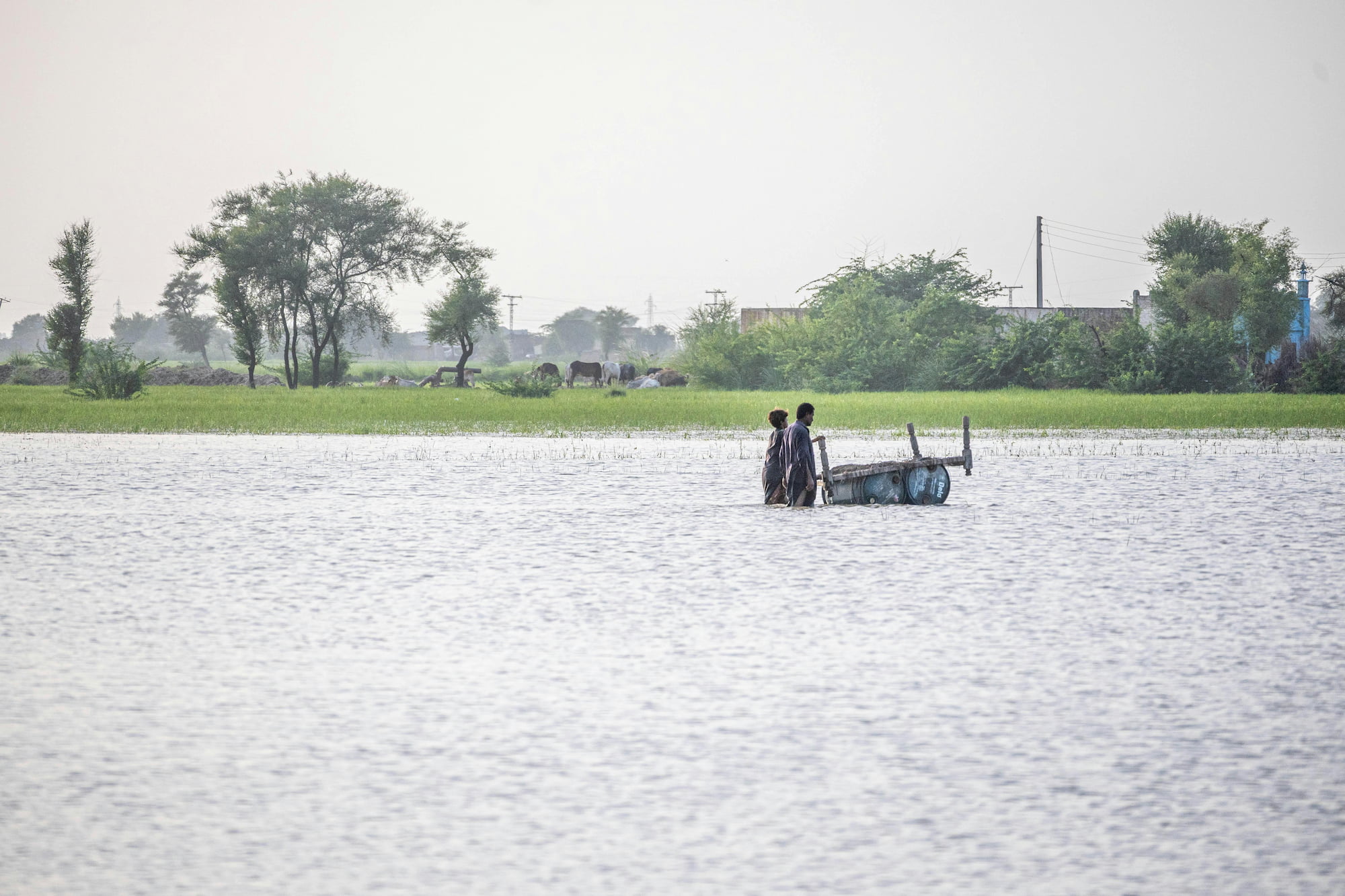
This use case enables the systematic identification and characterisation of flood-related hazards through the integration of satellite data, modelling techniques, and geospatial analytics. Flood hazard mapping is performed using a combination of radar and optical satellite imagery, supported by hydrological and hydraulic modelling to estimate the spatial extent, depth, and recurrence of flood events. This approach facilitates the detection of both large-scale and urban floods, including those occurring under cloud cover or in built-up areas where traditional methods are limited.