Vegetation Water Content
EO Capability Benefits
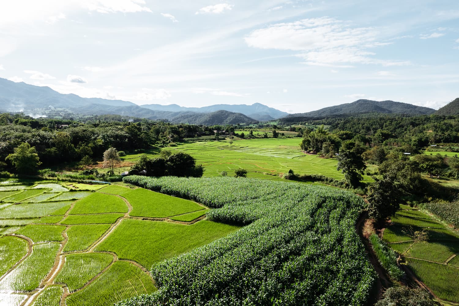
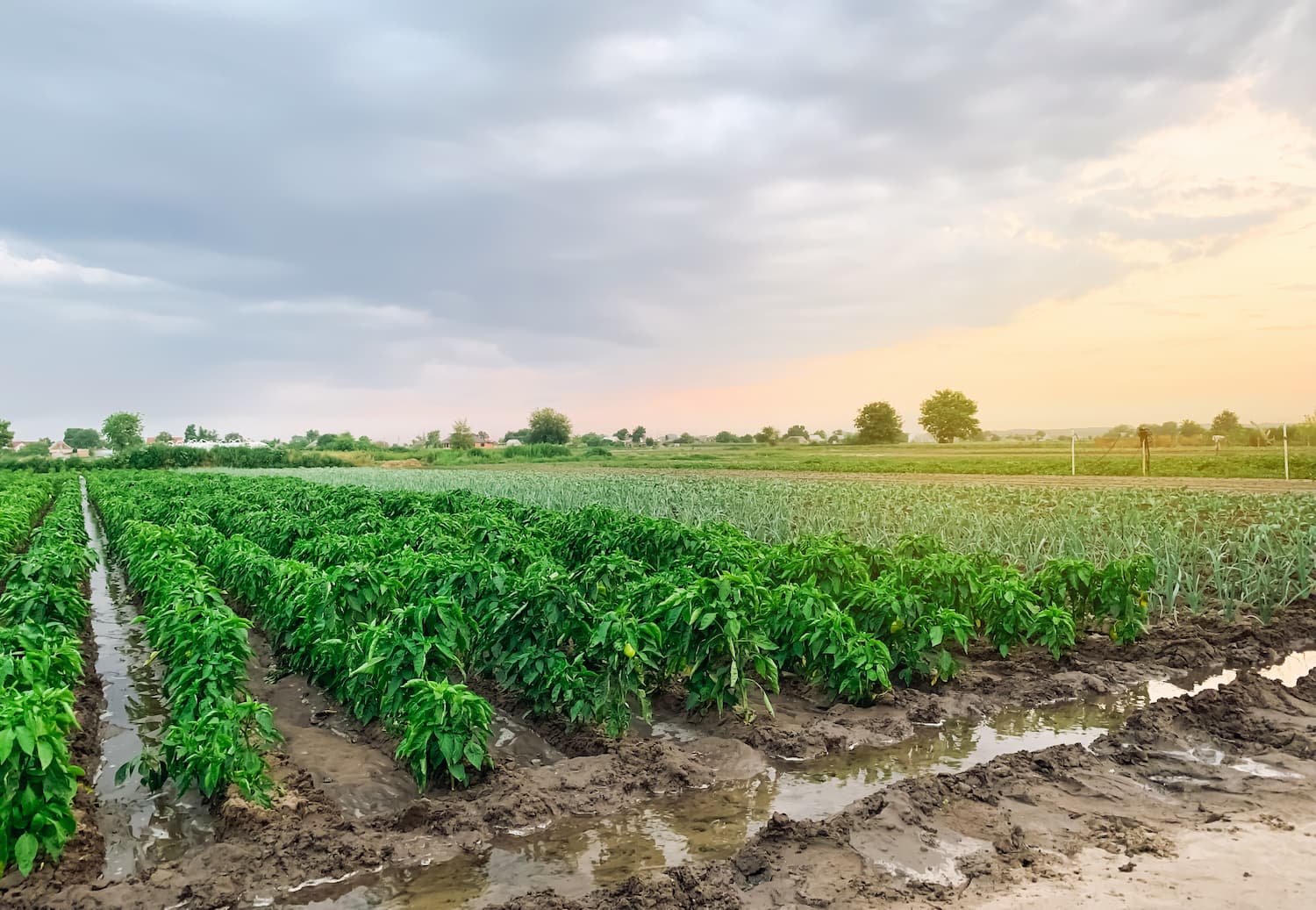
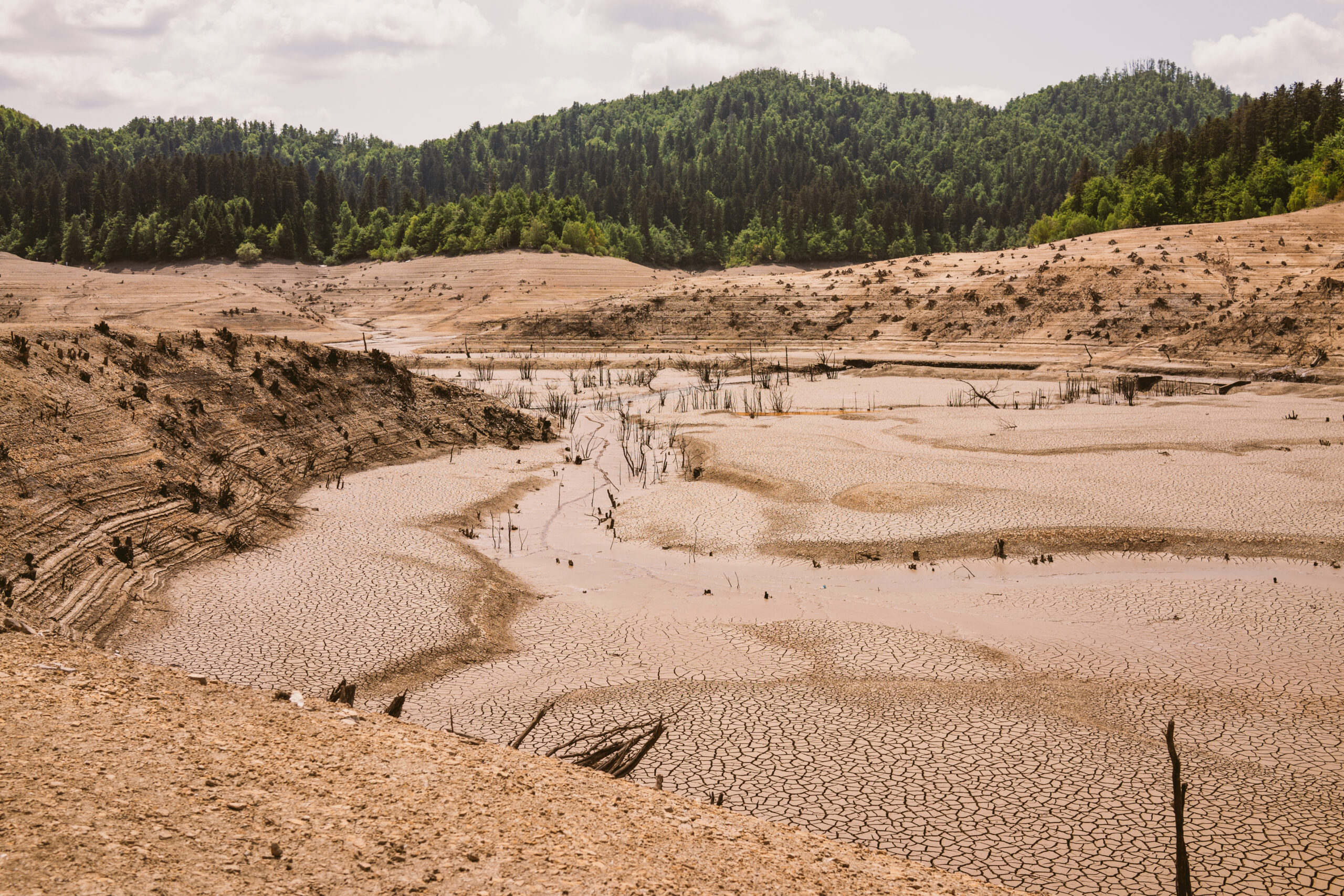
Vegetation water content is a key biophysical feature of vegetation health. Its estimation via Earth Observation (EO) technologies provides a powerful approach to enrich our understanding of Earth’s water cycle, vegetation water stress levels in different regions, and on how to best manage water resources. Relative to traditional field sampling methods, satellite-based remote sensing provides the ability to make reliable estimations of vegetation water status in a much more timely and cost-effective manner, and as a result, has become a key source of information in agricultural planning and monitoring, as well as in ecosystem drought and wildfire risk assessments. Furthermore, measurements can be done in a continuous and repeatable manner, over multiple scales, allowing for near-real time monitoring, which is crucial when studying regional vegetation trends and impacts of drought events on crops and ecosystems. This capability allows farmers and researchers to detect early signs of vegetation water stress in agricultural land and natural ecosystems, and implement effective solutions for water conservation, land management and climate change adaptation.
EO Capability Description
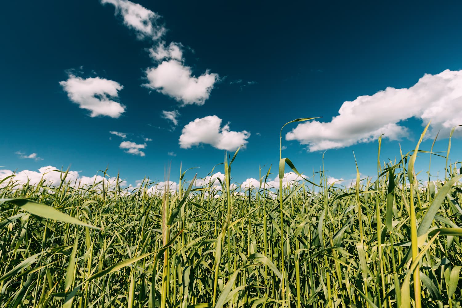
The quantity of water in plant tissues is known as the vegetation water content, and it reflects the hydration status of the plant as well as its physiological reaction to environmental stressors. EO-based technologies including optical, microwave and thermal satellite sensors have become instrumental in monitoring vegetation water content at regional to global scales, and assessing water stress levels. Optical sensor imagery at different resolutions (e.g Sentinel-2, Landsat) are used to generate a range of water content indices like Normalized Difference Water Index (NDWI), Normalized Difference Moisture Index (NDMI) or Moisture Stress Index (MSI), that provide proxies for water content in vegetation and can be used to accurately detect changes in conditions. Synthetic Aperture Radar (SAR) (e.g Sentinel-1) and passive microwave sensors are also sensitive to water content in vegetation and provide all-weather monitoring capabilities, day and night. Whereas thermal infrared sensors are able to generate valuable insights by measuring changes in land surface temperature and thermal stress, used to indirectly infer changes in vegetation water status. Integrating ancillary data, such as meteorological data, soil moisture measurements, evapotranspiration estimates, and land cover land use (LULC) information, together with advanced machine learning models, help provide a reliable and comprehensive view of vegetation water content and its relationship with environmental factors.