EO Capability Benefits
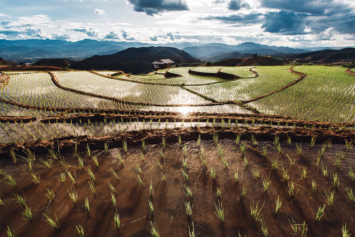
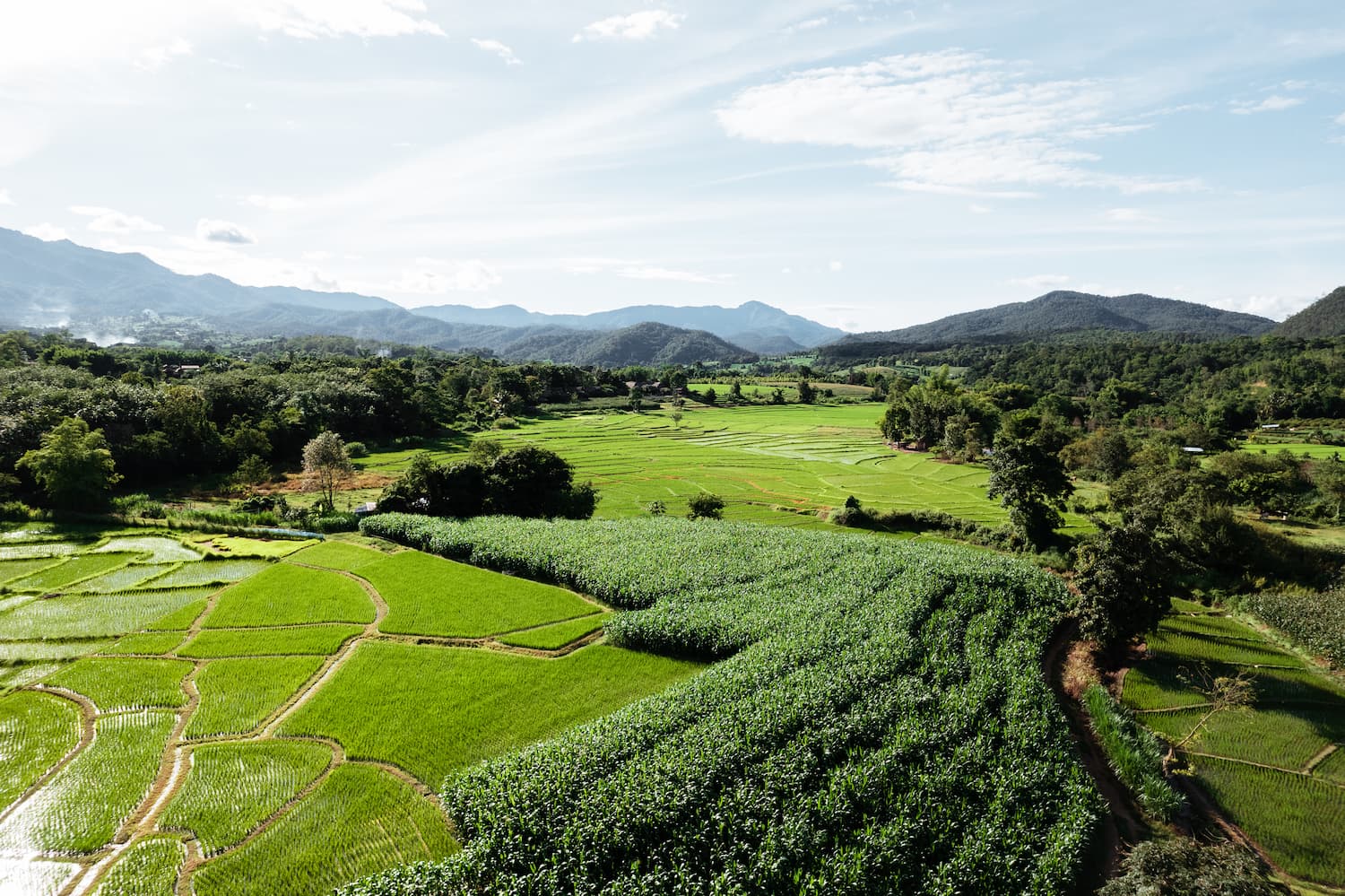
Crop type identification using Earth Observation (EO) data has become critical in modern agricultural science, offering key insights into global and regional agricultural landscapes. Through advanced remote sensing techniques, farmers, researchers and policymakers can effectively classify and monitor crops with unprecedented precision and scale. Crop type monitoring is used for early detection of crop conditions, for yield variation prediction, and to enable data-driven decisions regarding land use planning, resource allocation and the sustainability of farming practices. Large-scale crop monitoring with these modern EO-based techniques generate key data for governments and stakeholders to use in market trend forecasting, to inform subsidies, supply chain optimization, and climate and environmental impact assessments.
EO Capability Description
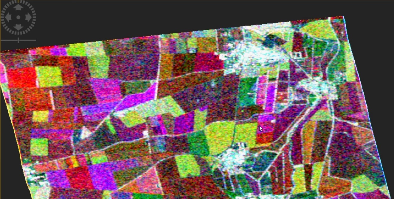
Crop type classification and monitoring is carried out using EO data on a local to global scale by applying advanced image processing techniques and machine learning algorithms (e.g., Random Forest). Deep learning techniques and AI-driven models are also increasingly being used to improve precision and scalability.
Time-series analysis is often used to distinguish crop types based on phenological characteristics, which has conventionally reliesd on single-sensor inputs processed by machine learning algorithms. Using the typical seasonal rhythm of crops, these can be distinguished from other types of vegetation. Nowadays, however, it is a common practice to fuse multiple sources of EO data, such as optical, SAR, hyperspectral, and LIDAR sensors, to integrate spectral, temporal, and structural crop characteristics, together with ground truth data, to improve classification accuracy.
Indicative Cost Range Details
Global open seasonal crop type data for 2021 at 10m spatial resolution is available through the ESA WorldCereal project.
Indicative Cost Range
Free or from 0.001 EUR/km²