Asset Damage Grading
EO Capability Benefits
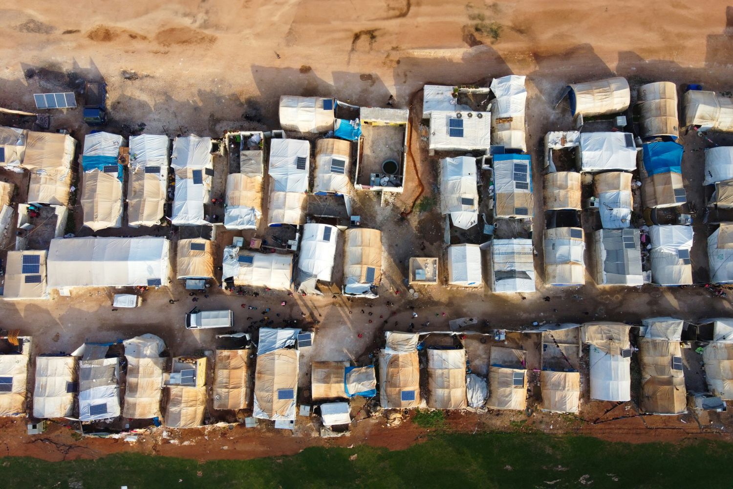
Asset damage grading maps are critical tools used for a variety of applications, particularly in disaster response, urban planning, and resource management. These maps provide a detailed assessment of the extent and severity of damage to infrastructure, buildings, and other assets, enabling stakeholders to make informed decisions. Emergency responders and authorities tasked with reconstruction can quickly identify areas with significant damage following natural disasters or conflicts. Insurers use these maps to assess claims related to damaged assets and determine compensation amounts. Farmers can use crop damage assessments to claim for subsidies or compensation.
EO Capability Description
Asset damage grading is concerned with physical, functional and collateral damage at monitored sites. It involves a detailed before and after event analysis to provide a grading of damage to civilian infrastructure, buildings, or agricultural resources.
Synthetic Aperture Radar (SAR) and Very High Resolution (VHR) optical imagery are widely used to assess infrastructure damage. SAR is particularly effective for detecting structural changes due to its all-weather, day-and-night imaging capability. Coherence Change Detection (CCD) from SAR data compares pre- and post-event coherence to identify structural changes. For building damage over small areas, visual interpretation of VHR optical imagery can be used. For larger areas, AI models trained on VHR SAR and optical have been used in combination. Existing datasets on the Transport Network or Building Footprints can be used as secondary inputs.
For damage to agricultural assets from conflict, pre- and post-swarm imagery from High Resolution (HR) optical sensors like Sentinel-2 can used to compare a timeseries of the Normalized Difference Vegetation Index (NDVI) as a proxy for vegetation health alongside a Land Use Land Cover (LULC) map indicating cropland areas. For damage from locust swarms, the approach is the same, with estimated dates derived using data sources like FAO’s Locust Hub. In countries in conflict, a challenge here can be the lack of locust point observations in the FAO database. In addition, cropland areas in some regions, such as East Africa, can be very dynamic, so that infrequently updated global LULC datasets may not be up-to-date.