Planning and Monitoring in Limited Access Areas
 ADD TO E-PORTFOLIO
 SUGGEST AN EDIT
ADD TO E-PORTFOLIO
SUGGEST AN EDIT
SUGGEST AN EDIT
ADD TO E-PORTFOLIO
SUGGEST AN EDIT
Use Case Description
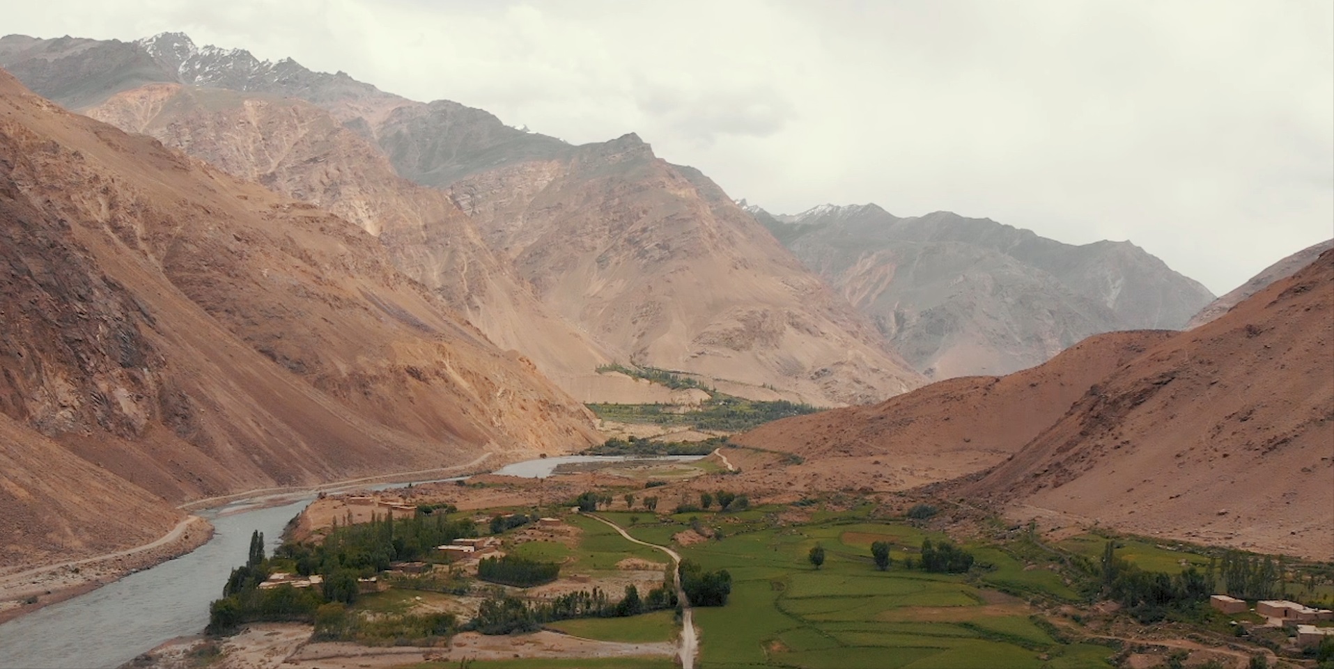
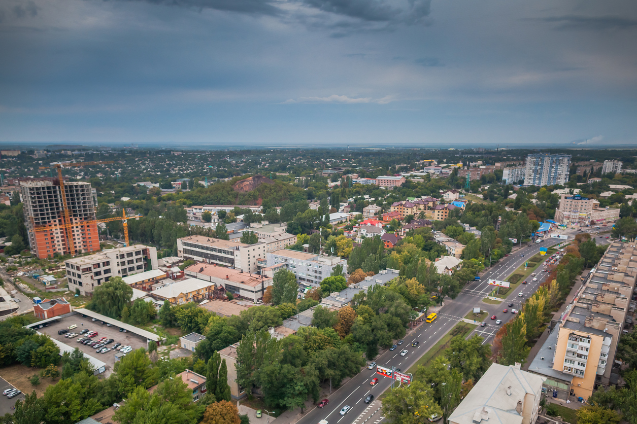
Earth Observation (EO) technologies offer powerful capabilities for planning monitoring and evaluation in locations where access is limited due to remoteness, conflict, extreme weather events, or infrastructure limitations. The coverage and consistency that EO-based data provides has made it key in providing insights supporting development assistance, humanitarian aid, disaster preparedness and environmental preservation. Vast and remote regions can be systematically covered by satellite remote sensing, overcoming limitations brought by national borders, air-space regulations and field security or accessibility constraints. As such, areas suffering from conflict or affected by disaster events where personnel deployment is difficult, can be closely monitored via satellite observations. Due to their coverage and their offer of timely and objective evidence, EO-based technologies are key for detecting and quantifying land use changes, infrastructure damage, and refugee movements in conflict-affected areas.
Satellite data supports long-term monitoring, which is essential for assessing agricultural performance, ecosystem health, deforestation, and changes in land and water sources. Implementing agencies can more transparently, consistently, and economically monitor the progress and outcomes of interventions, rather than relying only on field visits. Satellite data also supports early warning systems by allowing near-real-time event tracking through a range of sensors, overpass times, and resolutions. Furthermore, because these observations are instrument-based, they are inherently more objective and repeatable than traditional field collection methods.