Locust Monitoring
Use Case Description
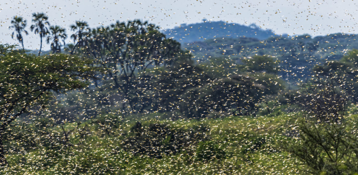
The desert locust is among the most destructive agricultural pests in the world. A small swarm, comprising up to 80 million locusts, can cause widespread damage to crops and vegetation. The use of satellite data and remote sensing technology supports early warning efforts by enabling the monitoring of egg-laying activity and providing impact assessments through the detection of damaged crop areas.
Analysing, forecasting, and providing early warnings for desert locust outbreaks is complex due to the intricate interplay of biological, meteorological, and geographical factors. The biology, behaviour, and migratory patterns of desert locusts are affected by ecological variables such as vegetation greenness and density, meteorological conditions including rainfall patterns, temperature fluctuations, and wind dynamics, edaphic factors like soil texture and moisture content, as well as geomorphological features such as topography and altitude.
Earth observation plays a vital role in supporting locust monitoring by providing continuous, reliable data on key environmental conditions. It enables the detection and tracking of dynamic environmental changes that influence locust breeding, survival, and migration. By leveraging Earth observation data, more informed and timely decisions can be made to strengthen early warning systems and enhance pest management strategies.