Building Heights
EO Capability Benefits
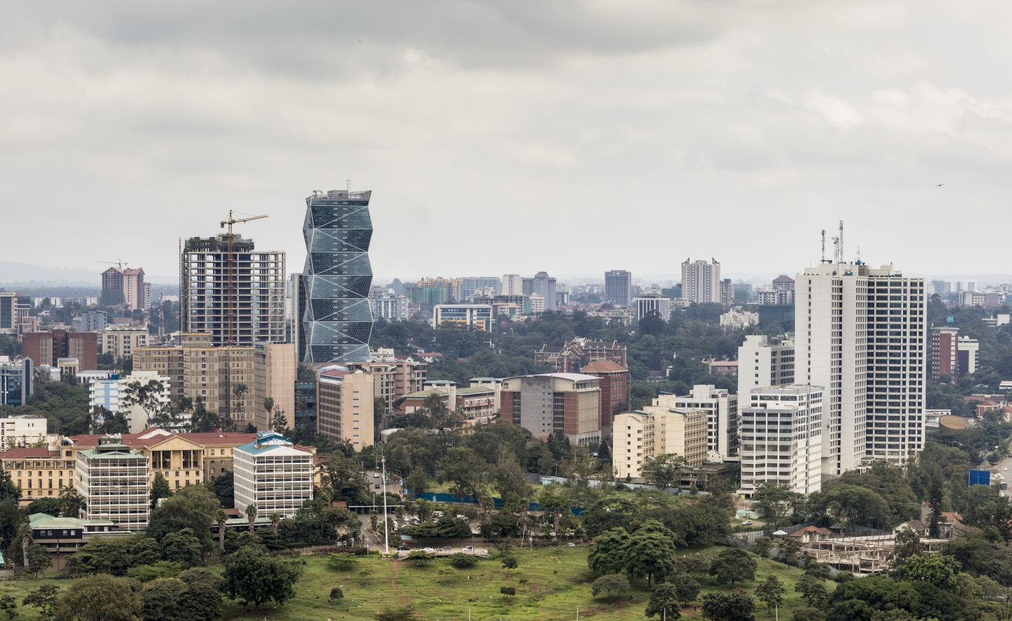
Height information is crucial for creating 3D city models which increasingly inform development control and urban planning, allowing us to understand urban density and assess potential risks in rapidly expanding cities. 3D building footprints (i.e. building footprints with a numerical height attribute in meters) are required to gain deeper insights into the vertical expansion of cities for some use cases. They are also revolutionising how proposed developments are visualised when engaging the public.
EO Capability Description
Building heights are deduced by capturing the same building or area from multiple (often two or three) angles, making use of the parallax effect. This gives rise to the underlying input data: multi-stereo imagery. Both passive optical and active SAR (Synthetic Aperture Radar) can be used as sole inputs or in combination, each with their own set of advantages and challenges. Shadow length has also been used to obtain additional data on building height. Estimating building height in relation to the ground requires a high-quality normalised Digital Surface Model – meaning a Digital Surface Model (DSM) from which the elevation data of a Digital Terrain Models (DTM) has been subtracted – to account for terrain relief and surface features. This can be challenging in densely built-up or undulating areas. The values contained in the nDSM can then be assigned to the attribute table of a dataset containing 2D building footprints, for instance, by taking the average of all height values falling within the building footprint’s polygon.