Use Case Description
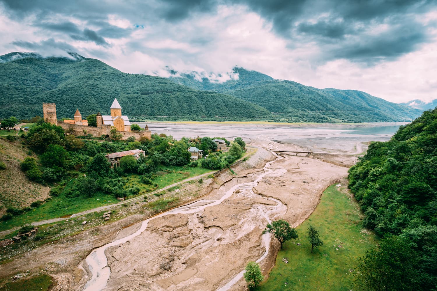
Reservoirs and dams serve multiple purposes, including irrigation, flood protection, and hydropower production. Infrastructure projects and construction in these areas are highly dependent on environmental conditions, making access to reliable information essential for defining fundamental characteristics. A major challenge for hydropower and similar developments is the lack of early-stage data on environmental factors like hydrology and water quality.
EO data provide valuable insights to support the planning, monitoring and maintenance of large infrastructure, such as dams and reservoirs, as well as to assess their environmental impact, particularly on downstream ecosystems. EO data can be used by stakeholders to evaluate potential sites for sand dams, assess sediment-related safety factors, address dam safety concerns (e.g., populations at risk), and monitor changes in river flows and habitats downstream.