EO Capability Benefits
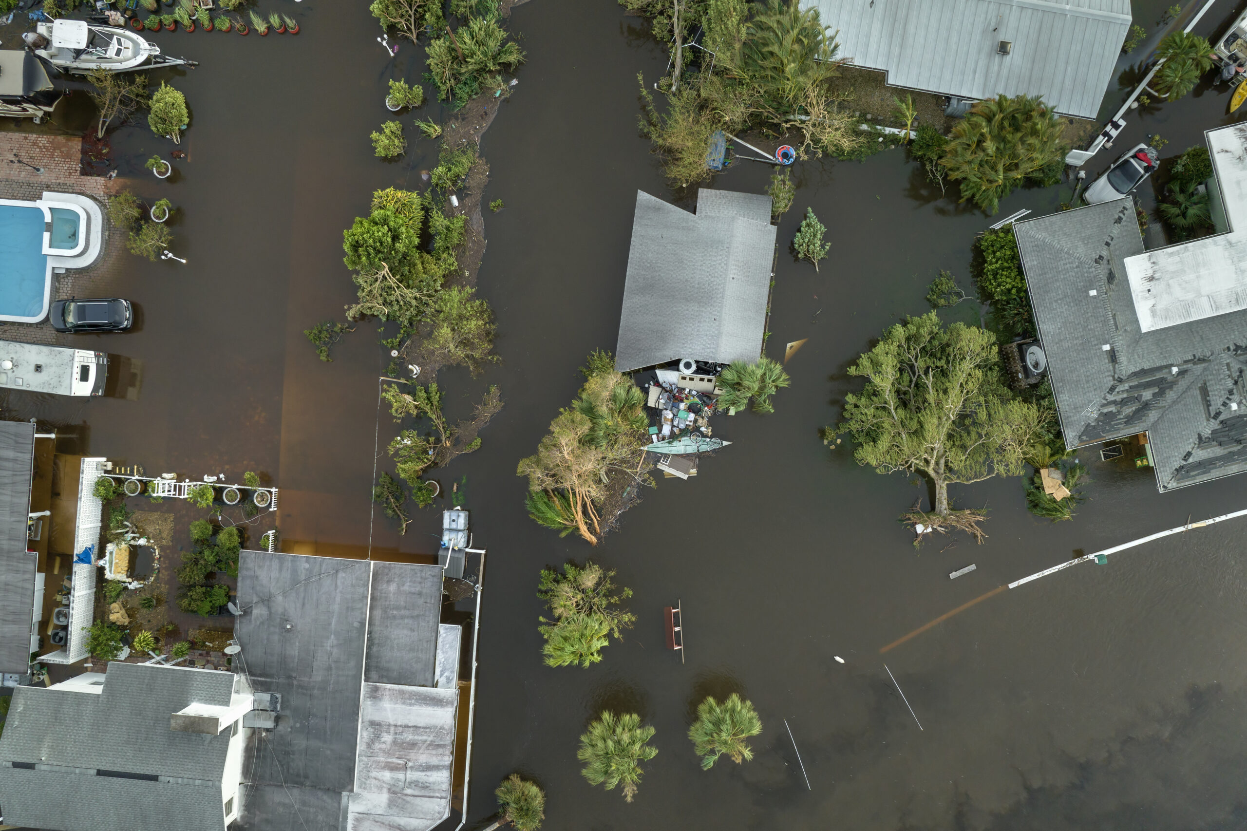
In post-flooding response, water depth is used for rapid damage assessments through integration with infrastructure layers. In other settings, bathymetric water depth data is used to track changes in shoreline positions to manage erosion risks and plan mitigation strategies (see also Waterlines and Shorelines). Water depth helps predict flooding events by integrating bathymetric data with hydrological models. In the field of coastal engineering, water depth constitutes foundational data for constructing seawalls, ports, and offshore installations like wind farms or pipelines.
EO Capability Description
In post-disaster settings, a simple estimation of flood water depth involves overlaying a Surface Water Extent layer with a Digital Terrain Model (DTM) and averaging the DTM’s values along this boundary to arrive at water surface elevation.
In bathymetry, water depth in clear water and shallow near-shore environments can be estimated by analyzing sunlight penetration in the blue and green bands of the visible spectrum, even using free and open High Resolution (HR) optical imagery. A physics-based algorithm then corrects for atmospheric and water column effects (e.g., sediment, plankton) to map depths up to 20 m or more. Using Very High Resolution (VHR) optical imagery an approach can be applied using the same parallax effect which is used to develop Digital Elevation Models. In this case, high water clarity, low depth, low to no ocean wave impact and water surface reflectance, and a heterogenous seafloor color, are required.
Synthetic Aperture Radar (SAR) can be used to indirectly estimate depth in deeper waters via wave refraction or tidal patterns, though with higher uncertainty compared to optical methods. This method requires long swell waves (because of the shoaling effect, which causes changes in wavelength and wave height when the underlying topography changes) and light to medium wind, so not all SAR acquisitions will be suitable.