EO Capability Benefits
Monitoring settlement extent and its change over time is essential for urban planning, infrastructure development, disaster management, and environmental conservation. This process provides a historical perspective on the growth and development of human settlements, offering vital insights into the factors driving or controlling urban growth and expansion.
EO Capability Description
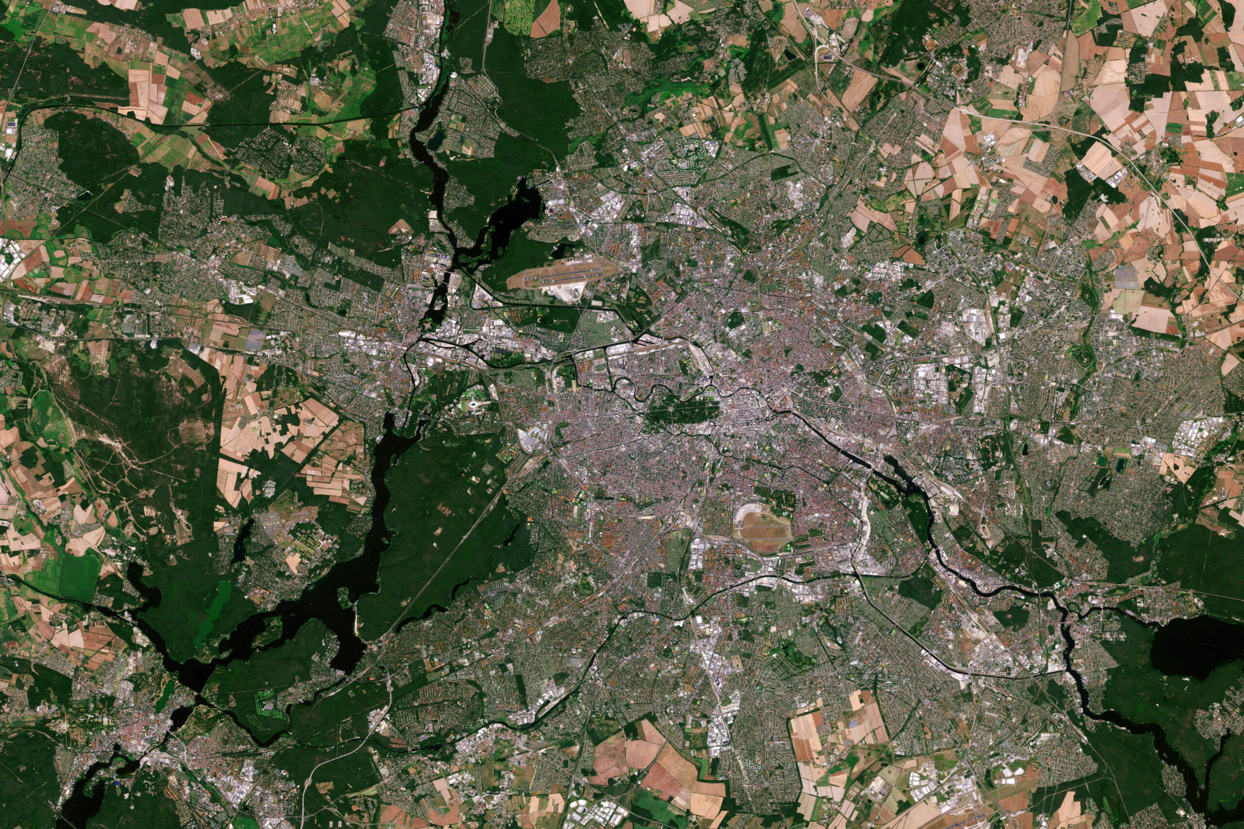
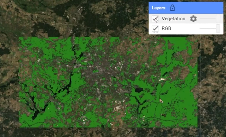
Earth Observation (EO)-based data can be used to identify and classify settlements, outlining the extent and key characteristics of urban areas. EO data makes it possible to determine when and where land transitions from non-urban to urban (or vice versa), analyse settlement characteristics, and gain better insights into development patterns (e.g. leap-frogging or ribbon development) and quantifiable growth rates over time.
These metrics provide valuable information about the types of settlements and their changes, supporting urban planning, land and natural resource management, and disaster preparedness efforts. Comparing actual urban growth with statutory development plans or designated protected areas, for instance, can indicate weaknesses in enforcing development controls.
While built-up extent can be produced solely using optical EO imagery, radar data (e.g. from Sentinel-1) can serve a complementary role since active radar emitters are unaffected by cloud cover and can operate at night. The final information product should always be validated using Very High Resolution (VHR) imagery and/or reference building outlines.
Indicative Cost Range Details
10m Built-Up Extent datasets such as the German Aerospace Center’s (DLR) World Settlement Footprint are freely available.
Indicative Cost Range
Free