Seafloor Cover
EO Capability Benefits
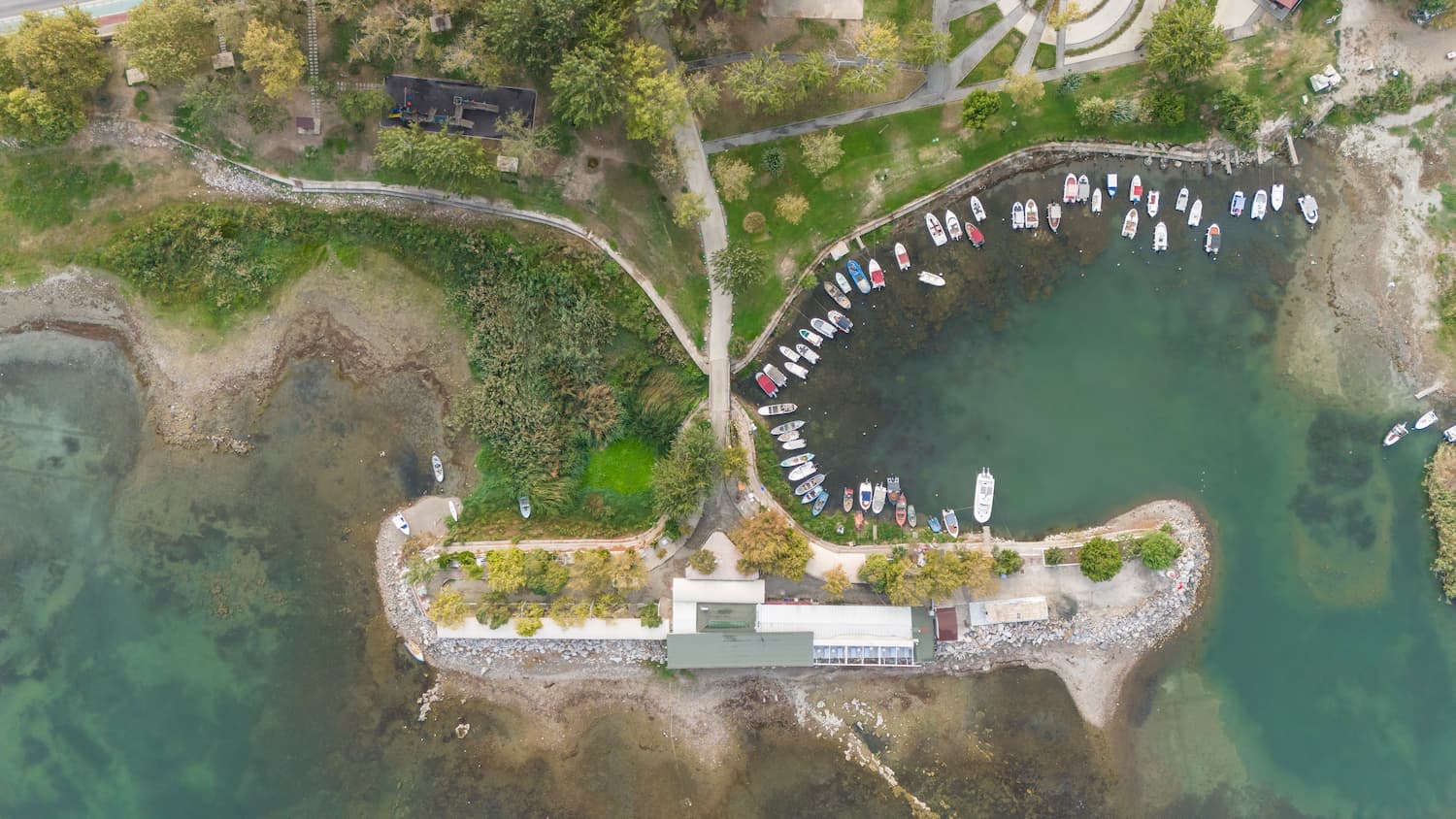
Seafloor cover classification using Earth Observation (EO) technologies offers crucial insights into underwater habitat composition and structure, supporting more informed and sustainable marine resource management. Understanding seafloor characteristics is critical for marine biodiversity conservation, fisheries management, coastal development, and environmental impact assessments, allowing stakeholders to identify ecologically important zones like spawning grounds, nurseries, and habitat corridors. This information also supports the establishment and monitoring of marine protected areas, the planning of infrastructure such as underwater cables or pipelines, and the detection of changes caused by activities like dredging, anchoring, or trawling. Compared to traditional in situ surveys, EO-based seafloor classification provides a cost-efficient and scalable solution covering large, remote, or logistically challenging areas, allowing for repeatable observations over time to detect gradual changes in habitat composition, sediment transport, or degradation due to environmental stressors.
EO Capability Description
Earth-Observation data allows to detect and classify different seafloor surfaces, such as sand, coral, seagrass, or rock, improving protection and planning of vulnerable marine ecosystems impacted by human activities and climate change. It involves the analysis of high-resolution satellite imagery to determine the physical characteristics and composition of the seafloor in shallow coastal environments. The process begins with the correction of satellite data to account for atmospheric interference, water surface reflection, and other environmental factors that can affect image quality. These corrections help isolate the true reflectance signals returning from the seafloor.
Once the imagery is processed, seafloor reflectance patterns across multiple spectral bands are used to classify distinct habitat types. An object-based image analysis approach is applied, grouping areas with similar spectral signatures, textures, and shapes into defined classes. These classes may represent features such as sandy bottoms, coral formations, seagrass beds, or rocky areas, depending on the spectral characteristics observed.
The classification process is further refined using visual inspection and expert knowledge to ensure the reliability of the outputs. Areas that are optically deep or affected by environmental interference—such as cloud shadows, suspended particles, or floating objects—are excluded or flagged to avoid misclassification. The final classification map is produced at high spatial resolution, providing a detailed, accurate representation of benthic habitats across the surveyed area.
This information can be used independently or alongside other EO-derived layers, such as bathymetry or sediment transport, to support integrated marine spatial planning. The repeatable nature of the process allows for temporal comparisons, enabling the detection of shifts in habitat distribution and condition over time. It enhances monitoring capabilities for conservation, restoration, and sustainable use of marine environments.