Mangroves Extent
EO Capability Benefits
Mapping mangrove extent using Earth Observation (EO) technologies offers a wide range of benefits, particularly in the areas of environmental governance, sustainable coastal development, and climate resilience. It enables consistent and scalable monitoring, supporting the early detection of ecosystem degradation, illegal land conversion, and unsustainable practices. Timely and spatially detailed information facilitates targeted conservation actions, efficient resource allocation, and informed decision-making. It also underpins data-driven policy formulation and contributes to national and international environmental commitments, such as the Sustainable Development Goals (SDGs), climate action frameworks, and biodiversity strategies. EO data helps fill critical information gaps in areas where field monitoring is limited or unfeasible, and supports cross-sectoral planning by linking ecological changes to spatial zones, enabling stakeholders to identify vulnerable areas, understand human-environment interactions, and integrate nature-based solutions into coastal development strategies.
EO Capability Description
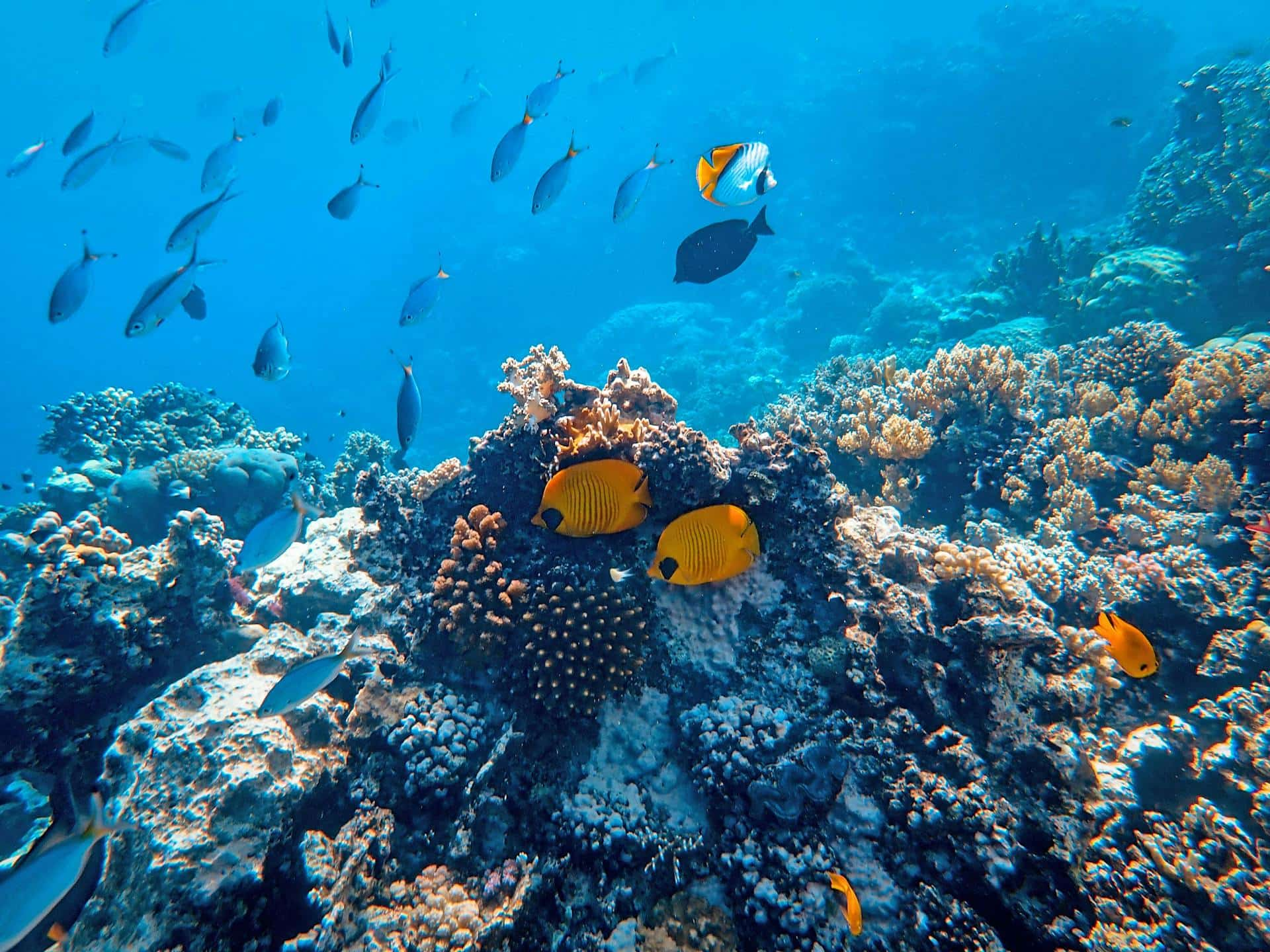
Mangrove forests are among the most valuable coastal ecosystems and can be found along coastlines, riverbanks and mudflats in tropical and subtropical regions. They play a critical role in stabilising shorelines, buffering against storm surges, filtering water, supporting biodiversity, and storing significant amounts of carbon. Their conservation is vital for both ecological health and the well-being of communities that depend on them for food, protection, and livelihoods.
Understanding where mangroves are expanding, declining, or remaining stable offers valuable insights into the dynamics of these critical ecosystems; while mangrove ecosystems protection and restoration are considered to be among the most effective nature-based solutions for coastal disaster risk reduction and climate change adaptation, however, mangrove forest loss is accelerating at alarming rates globally.
Mangrove distribution and dynamics can be monitored using multi-temporal image composites generated from high-resolution satellite data provided by the Copernicus Sentinel-1 (radar) and Sentinel-2 (optical) missions. Multispectral, hyperspectral, LiDAR and SAR datasets have all been widely employed in the study of mangrove extents, composition, and dynamics with high accuracy and efficiency.
These technologies have allowed researchers to identify and monitor mangrove forests in detail, not only in terms of spatial extent, but also in terms of structural complexity and species composition. The integration of satellite data with advanced machine learning methodologies and ancillary data (e.g field observations, forest inventory information, and climate data) allow to closely track and quantify losses and gains, and estimate their impacts on carbon storage, biodiversity and coastal erosion.