EO Capability Benefits
Groundwater quantification assessments based on Earth Observation (EO) offer significant benefits, including a cost-effective solution and frequent delivery of data over large areas. This supports better water supply management and reduces dependence on surface water. By providing timely insights, EO also helps identify and address unsustainable abstractions before they lead to environmental or social issues.
EO Capability Description
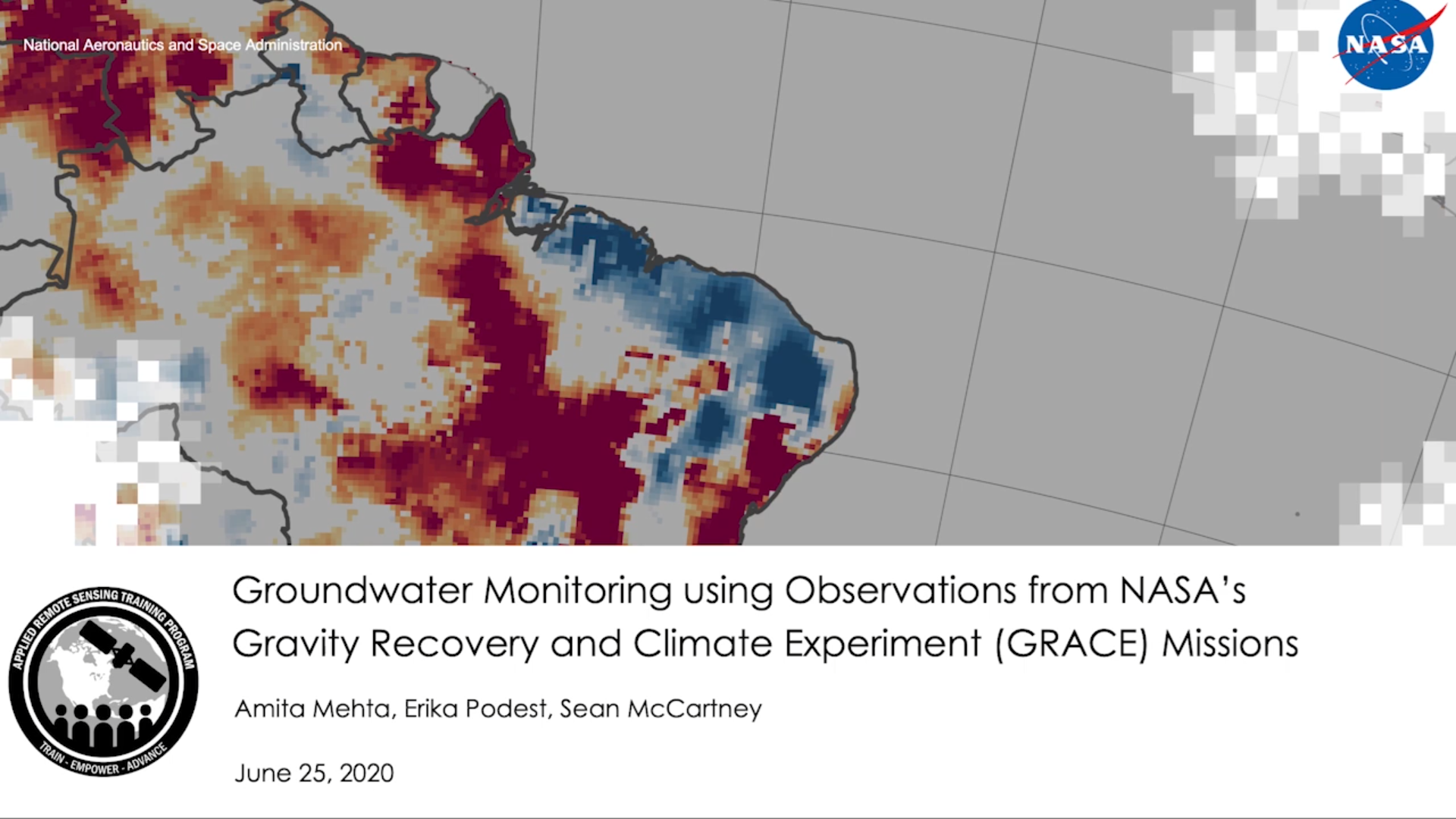
Groundwater quantification using EO involves applying remote sensing to estimate both the amount of water replenishing the aquifers annually and the water being abstracted. This approach combines datasets from multiple satellites and global datasets to provide a comprehensive picture of groundwater resources.
Groundwater recharge refers to the volume of water that infiltrates through the soil and reaches the water table, replenishing the aquifers. It can be estimated from the previously calculated groundwater storage anomalies by implementing the Water Table Fluctuation method, which assumes that long-term increases in groundwater storage are due to recharge. This method provides three annual recharge estimates: Upper, Lower and Mean. The estimation of the annual groundwater recharge is provided as annual estimates and long term annual averages.
Groundwater abstractions quantification is based on a water balance approach, attributing changes in groundwater storage not explained by natural components to human activities such as pumping. Temporal aggregations allow analysis of seasonal, annual, and multi-year abstraction patterns.
Possible abstraction products include the following:
- Net groundwater (km3) by administrative areas and/or at pixel level. Temporal aggregations into annual and multi-annual (20 years).
- Multi-annual groundwater abstractions (km3 or mm) by administrative areas and/or at pixel level: Temporal aggregations into seasonal, annual and multiannual products.
Indicative Cost Range Details
It depends on the area of interest and the required products. To be implemented from regional to national level (areas above 200.000km2).