Storms
EO Capability Benefits
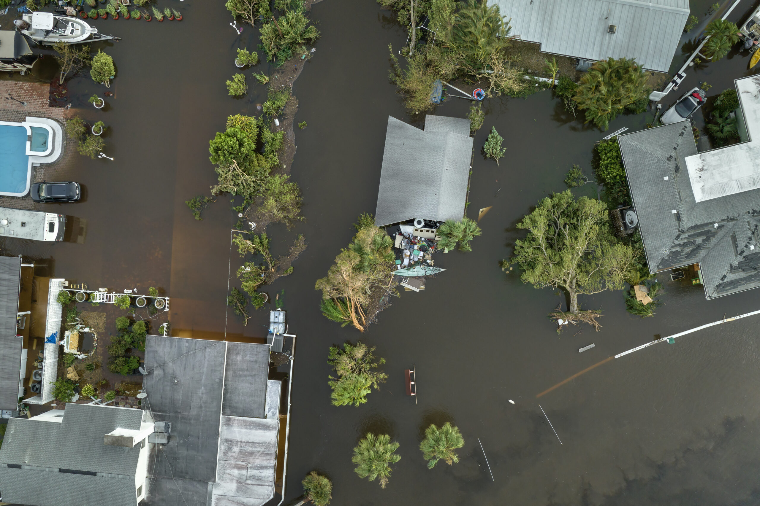
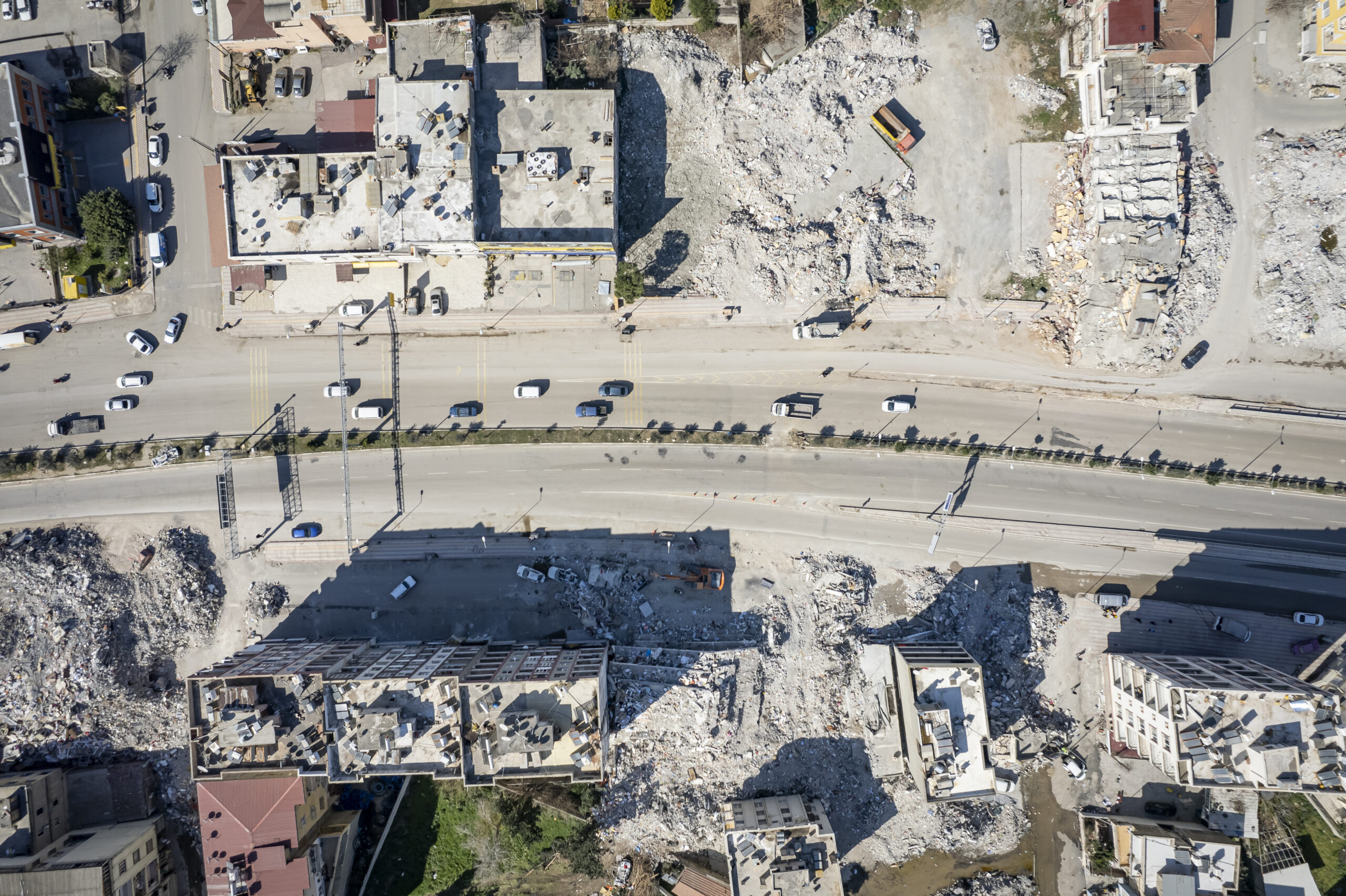
Natural disasters are often linked to hydrometeorological hazards, including tropical storms such as hurricanes, typhoons and cyclones, severe rain, and tornadoes. As climate change intensifies, hydrometeorological hazards, especially heavy rainfall, storm‑related flooding, and certain types of extreme storms are expected to intensify and become more frequent both regionally and globally, threatening lives, infrastructure and other assets. Earth Observation (EO) contributes along the full storm “lifecycle” from detection, forecasting, and nowcasting to impact assessment and recovery. Continuous, global, multi‑sensor coverage translates into earlier warnings, reduced loss of life and assets, and more precise impact assessments after an event. A major advantage of EO platforms over ground sensors is that the former remain outside the hazard zone and guarantee continuous monitoring, whereas river gauges and other in-situ sensors may be destroyed or lose power.
EO Capability Description
Storm monitoring avails of a rich orchestra of EO platforms and instruments, part of the space segment of the Global Observing System (GOS), coordinated by the World Meteorological Organization (WMO):
Geostationary visible/infrared imagers like EUMETSAT/ESA’s Flexible Combined Imager (FCI) on the Meteosat Third Generation can scan a full hemisphere every 10 minutes or perform a rapid-scan of storm regions with refresh rates down to 2.5 minutes. They observe cloud top structure and temperature, storm organization, and convective initiation.
Lightning imagers in geostationary orbit add continuous lightning detection, improving situational awareness for severe convection.
Passive microwave radiometers and microwave humidity/temperature sounders on polar missions in Low Earth Orbit (~700–850 km), with revisit times from hours to a day, penetrate clouds to retrieve temperature and humidity profiles and precipitation, providing direct physical markers of storm intensity, rain rate, and moisture transport. Examples include EUMETSAT/ESA’s Microwave Sounder (MWS), andor the Microwave Humidity Sounder (MHS).
Some passive microwave imagers and radiometers such as SMOS MIRAS also retrieve ocean surface winds.
Radar scatterometers like ASCAT emit their own microwave pulses and measure the backscatter over a wide swath, mapping changes in sea surface roughness associated with high winds, even under dense clouds and heavy rain. For narrower-swath and finer-scale surface roughness and wind analysis, Synthetic Aperture Radar (SAR) is also used.
Finally, GNSS Radio Occultation provides fundamental all‑weather backbone data in the form of high‑vertical‑resolution refractivity profiles (used to derive temperature and humidity, and hence pressure) up to roughly 30–40 km altitude.
National and regional meteorological agencies assimilate these EO datasets, which make up the vast majority (around 90% or more by volume) of observations alongside ground‑based and in‑situ data into physics-based Numerical Weather Prediction (NWP) models. These models are increasingly complemented by AI layers for data-driven forecasting and targeted nowcasting. In practical terms, both near-real time satellite imagery and derived products are displayed in forecaster workstations together with model outputs to support situational awareness and nowcasting. This allows for warnings to be adjusted minute‑to‑minute, especially for convection and local storms, where model guidance may not be entirely reliable.