Cropland Affected by Locusts
EO Capability Benefits
Identifying the cropland extent that is affected by transboundary pests, such as desert locust, is crucial for understanding their impact on national to regional agricultural production. This information can be used to advance the understanding of where and when these pests migrate, inform decision-making on reducing food insecurity, targeting dedicated insurance and control systems, and building resilience and capacity for local farmers during and after locust outbreaks.
EO Capability Description
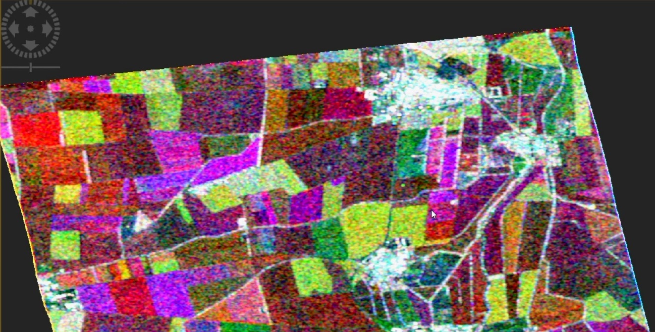
Earth Observation (EO) based approaches for identifying croplands affected by desert locusts rely on detecting sudden changes in vegetation properties in known cropland areas using satellite-derived indicators. These methods quantify shifts in vegetation health, structure, or biomass that result from locust feeding activity.
Optical, multispectral sensors such as Sentinel-2 provide imagery that can be used to derive vegetation indices such as the Normalized Difference Vegetation Index (NDVI), which is often used as a proxy to vegetation conditions. Sudden localised declines may indicate vegetation loss due to locust damage. By analysing time series with ancillary data sources, such changes can be distinguished from seasonal variations, weather-related events, or harvests. Extending this analysis with SAR data to identify differences in crop structure or overlaying this information with cropland or crop type maps provides crucial information to quantify the impact of locust outbreaks.