Soil Erosion
EO Capability Benefits
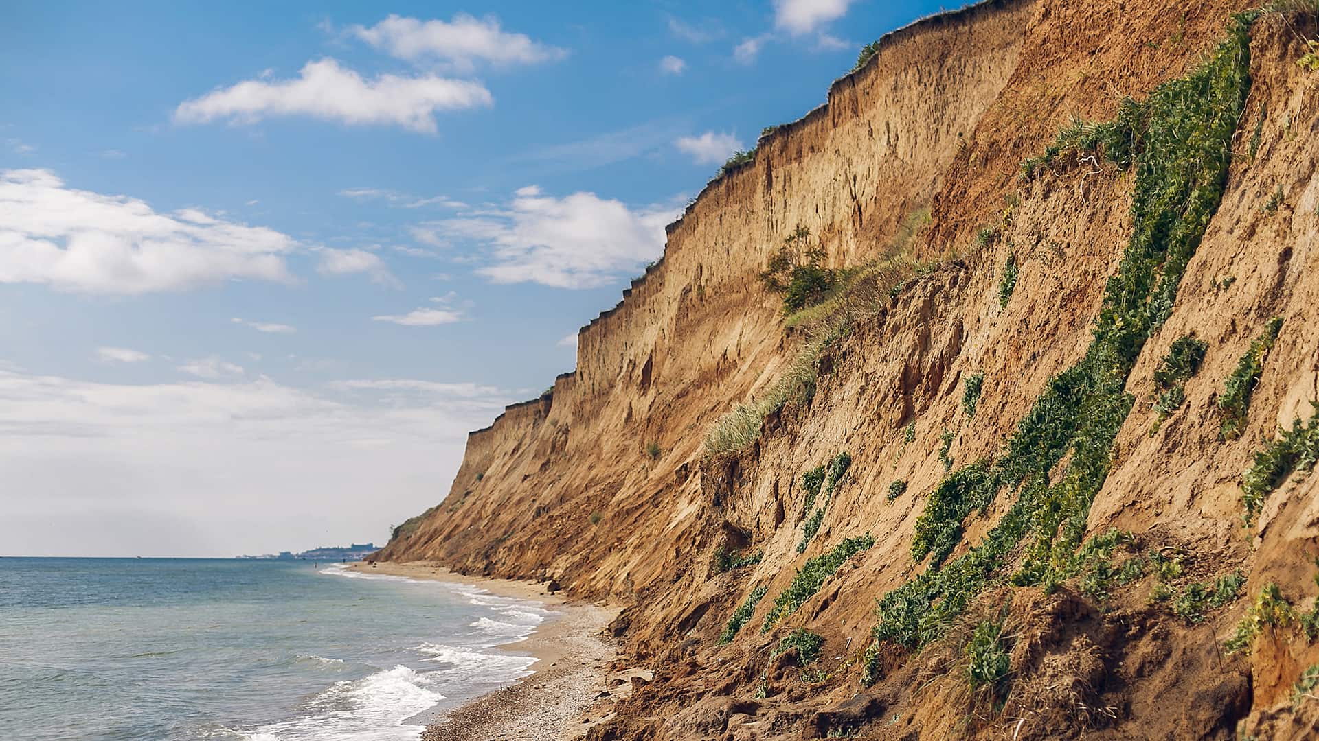
Soil erosion data helps identify areas at high risk of degradation, enabling targeted interventions to prevent further soil loss and land degradation. Similarly, data on sediment transport and runoff informs the design of watershed management plans to maintain water quality and reduce sedimentation in reservoirs and rivers. Erosion data is also used to identify areas where topsoil loss threatens productivity. In the field of disaster risk management, soil erosion data is essential for predicting and mitigating risks associated with floods and landslides, especially in areas with steep slopes or heavy rainfall. In the field of dam safety and infrastructure planning, understanding erosion dynamics is vital for preventing infrastructure failures caused by sediment deposition or loss of foundational soils.
EO Capability Description
Soil erosion detection and monitoring using Earth Observation (EO) leverage a combination of satellite-borne sensors, aerial platforms, and advanced modeling techniques.
Fundamental EO imagery necessary involves High Resolution (HR) optical imagery such as from the Landsat or Sentinel-2 constellation. As soil erosion is a multiyear or even decadal process, timeseries of this imagery is acquired. Subsequently a range indices is produced which are associated with vegetation cover, soil moisture content, and soil composition, all of which impact soil erosion. Examples of these indices include:
- NDVI – Normalized Difference Vegetation Index
- BSI – Bare Soil Index
- NDMI – Normalized Difference Moisture Index
When certain breakpoints in these indices are reached (e.g., a rapid NDVI decline), this can signal erosion onset.
Empirical models, such as the Revised Universal Soil Loss Equation (RUSLE), rely on statistical relationships between erosion factors and soil loss. These models use remote sensing data to estimate parameters like rainfall erosivity, soil erodibility (inferred from soil property maps and hyperspectral EO imagery), vegetation cover and topographic factors such as the slope derived from Digital Elevation Models.