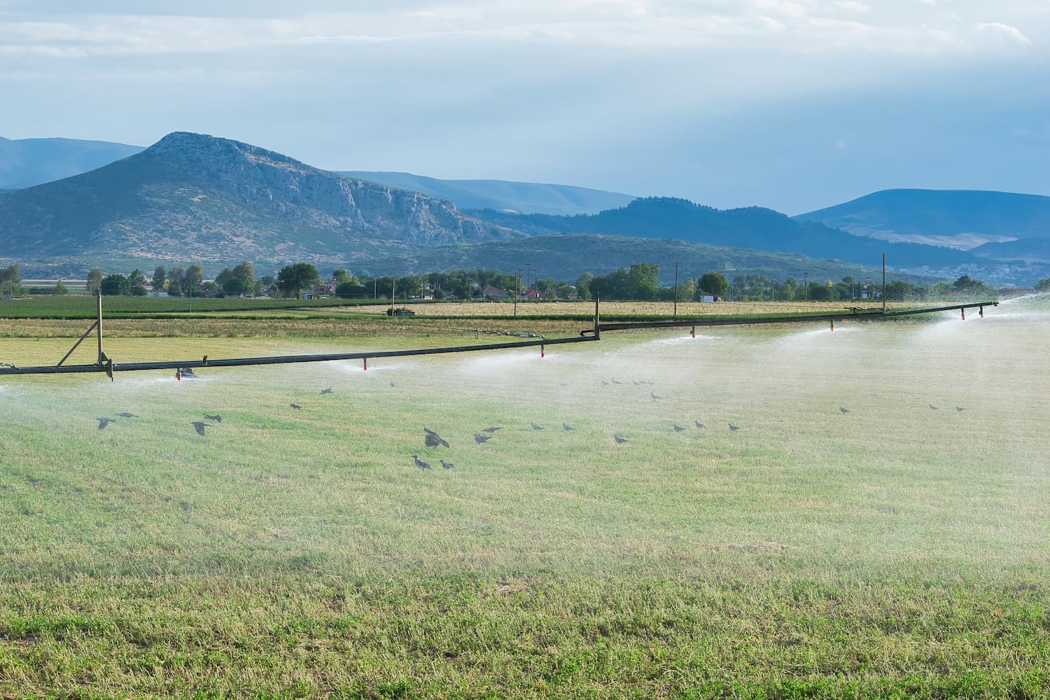
Irrigated Cropland
EO Capability Benefits
Earth Observation-based irrigated cropland monitoring provides valuable insights for sustainable water resource management and drought resilience. Identifying and assessing irrigated areas can promote more sustainable water use and enhance irrigation. This analytical approach enables the early detection of water stress, informs irrigation planning, and helps optimise agricultural water allocation, reducing the risks associated with droughts in vulnerable regions.
EO Capability Description
Irrigated cropland mapping often integrates multiple sources of Earth Observation (EO) data, including Optical imagery, Synthetic Aperture Radar (SAR) imagery, and Thermal Infrared (TIR)-based Land Surface Temperature data to identify patterns of water presence and soil moisture in agricultural landscapes.
Time-series analysis of vegetation indices and thermal data can differentiate between irrigated and rainfed agriculture by examining fluctuations in moisture availability and land surface temperature retention. An irrigated field is likely to exhibit higher and more consistent vegetation productivity and moisture values (e.g. NDVI and NDMI) over time, whereas a rainfed field is expected to show stronger seasonal variability. Additionally, an irrigated field will have a cooler surface temperature during the day and will cool more slowly at night compared to a non-irrigated field.
SAR data, particularly when combined with other data sources, is highly valuable for identifying irrigated areas under cloud-heavy conditions due to its sensitivity to soil moisture content.