Surface Water Extent
EO Capability Benefits
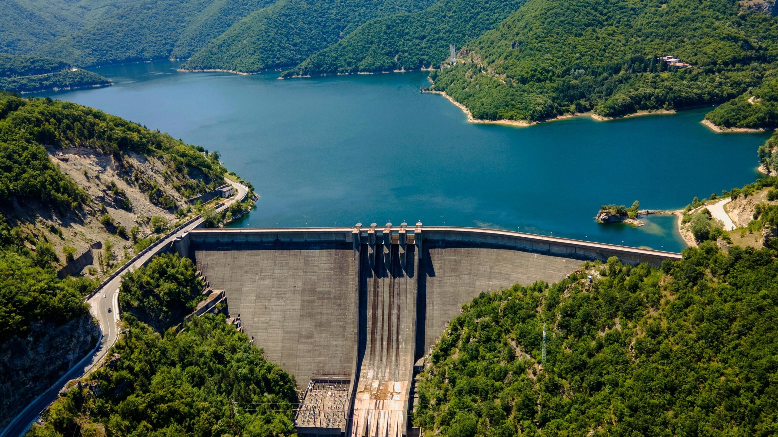
Mapping the extent and permanence of surface water bodies using Earth Observation provides valuable information on the impacts of human activities such as land use conversion and climate change on water resources. While seasonal cycles cause natural fluctuations in water levels, long-term climate impacts from rising temperatures, glacial melts to changing precipitation patterns can significantly affect water availability. Earth Observation can differentiate between permanent and non-permanent water bodies, and help quantify the frequency, timing and location of maximum or minimum extents.
EO Capability Description
Surface Water Extent provides the minimum and maximum extents, the water cover frequency and water body classification for surface water bodies within a defined Area of Interest and time period. Since it partially relies on Synthetic Aperture Radar (SAR) imagery, the EO capability can be applied under cloudy conditions but achieves best results with minimal cloud cover as optical imagery, e.g. from Sentinel-2, is used to enhance its thematic accuracy. Water bodies should not be covered by dense vegetation. This EO capability works reliably for water bodies greater than 500m². Linear features such as rivers are detected less reliably than broader water bodies such as lakes. It is most suited for multi-year analyses to detect trends outside of seasonal effects.