Use Case Description
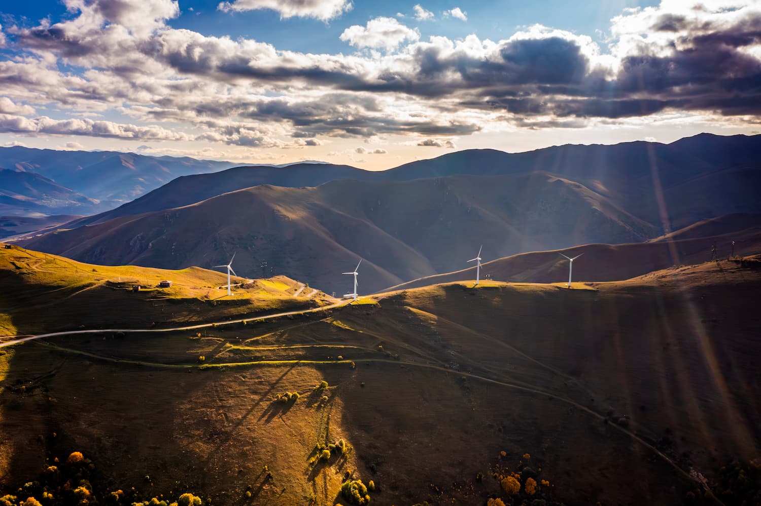
The use of Earth Observation (EO) is critical in enhancing the implementation of renewable energy technologies. Detailed and long-term statistics on parameters such as solar irradiance, wind speed and direction, runoff due to snow cover, geothermal anomalies, and biomass crops, are being used to assess the potential of renewable energy resources at a given location across a variety of scales ranging from the individual household to large solar thermal power generation, transmission, distribution, and maintenance projects.
In clean energy projects, it is also necessary to understand the geospatial context in which planning takes place: several geospatial layers can be integrated, derived from information received from satellite data, such as land cover datasets, network infrastructure maps, socio-economic data, and environmental datasets. EO provides a more cost-effective data source for renewable energy exploration and plant siting compared with ground-based assessments.


