

Havesting Resilience Part 2 – Introduction
 ADD TO E-PORTFOLIO
 SUGGEST AN EDIT
ADD TO E-PORTFOLIO
SUGGEST AN EDIT
SUGGEST AN EDIT
ADD TO E-PORTFOLIO
SUGGEST AN EDIT
Training Resource Description
The rural population in Belize is growing, and in turn increasing the rural economy. However, many of these producers are farming less than 20 acres, so any change in production has a direct impact on the population.
The Belize Agriculture Information Management System (BAIMS) is the national registry for farmers created by the Ministry of Agriculture, Food Security and Enterprise (MAFSE). It is a web-based tool which serves as a central repository for all agriculture data, a key objective of the Climate Resilience and Sustainable Agriculture project (CRESAP) is to enhance BAIMS by incorporating EO-based analytics.
The EO-layers produced by the GDA Agriculture Consortium have all been made available to be plugged into BAIMS, laying the groundwork for future adoption. In tandem MAFSE have added a GIS Technician to their staffing structure, in order to further develop the EO-based tools. This will help improve the livelihoods of rural communities, and create a more resilient agriculture sector for the future.
Related resources and websites
- GDA Story: Harvesting Resilience: Integrating EO in Belizean Agricultural Development – Read more about this case study on the GDA website
- Belize Agriculture Information Management System (BAIMS) – Find out more about BAIMS here
Featured Imagery

Sentinel-2 Imagery Showing Deforestation and Agricultural Expansion in Orange Walk District, Belize (2 February 2026)
Source: Modified Copernicus Sentinel Data 2026, processed with Copernicus Browser
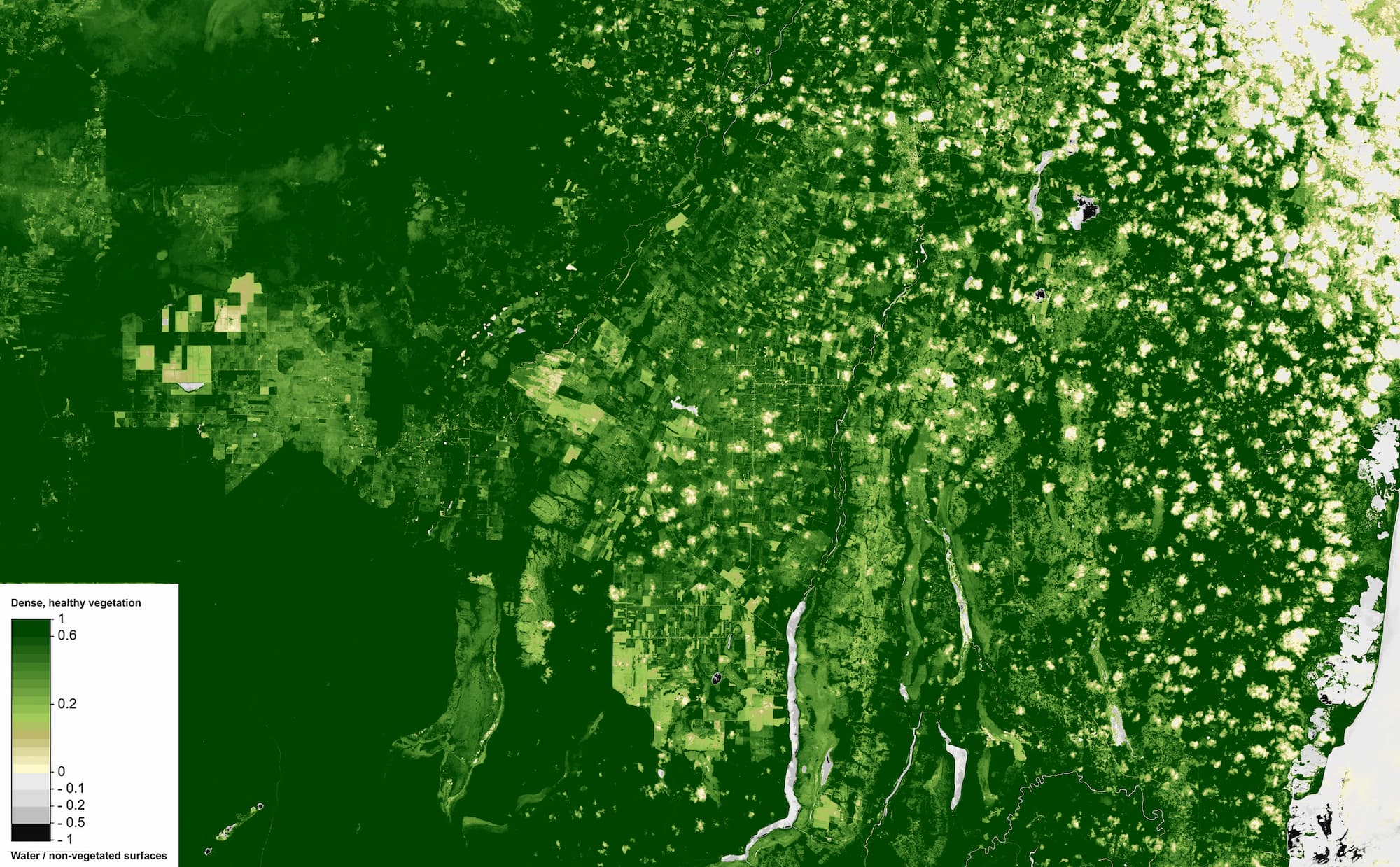
Normalized Difference Vegetation Index (NDVI), Orange Walk District, Belize
Source: Modified Copernicus Sentinel Data 2026, processed with Copernicus Browser

Crop type mapping from Sentinel-1 SAR and Sentinel-2 imagery for Belize (2020–2022)
Source: GDA AID Agriculture Consortium/ GDA Impact Sphere Consortium