Waterlines and Shorelines
EO Capability Benefits
Accurately monitoring the transition from land to sea is essential for understanding coastal dynamics. This is done by deriving waterlines and, subsequently, shorelines. Thanks to the availability of free and open satellite data, erosion and accretion patterns associated with seasonal dynamics, storm events and long-term shifts can now be monitored confidently at local, regional, national and global scales. This allows for evidence-based decision-making for coastal management and planning. For instance, the effectiveness of coastal defenses such as beach nourishment projects or shoreline stabilization structures can be reliably assessed. Furthermore, when waterline changes around particular storm events are quantified in this way, emergency response for future events can be improved.
EO Capability Description
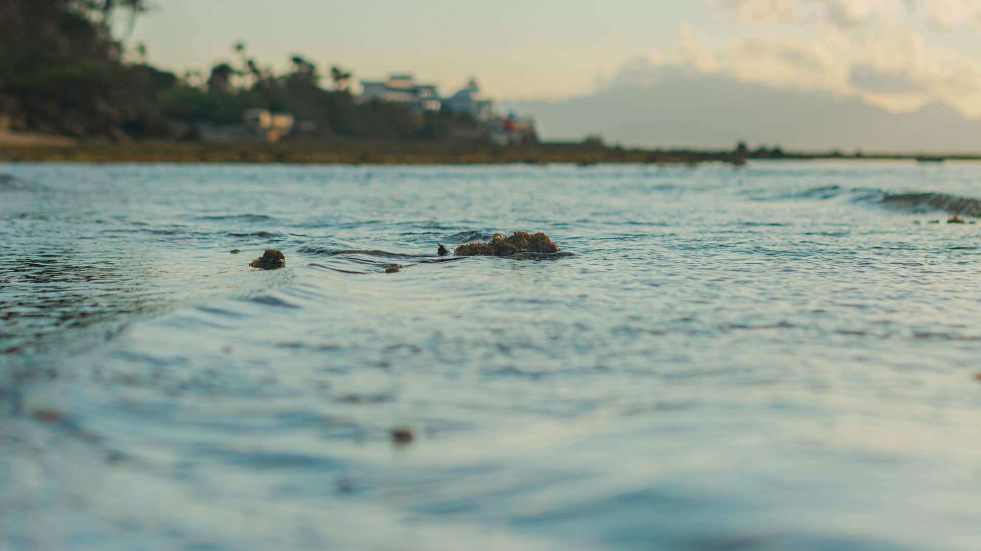
Waterlines represent the horizontal boundary between land and sea at the time the satellite image is taken. The exact position of the waterline depends on the tide height at the time of measurement and any meteorological conditions, such as low pressure and strong waves, that might affect the waterline’s location. Additionally, beach shape can change and influence the position and shape of the waterline. To accurately identify the boundary between land and sea, an analysis of spectral characteristics is conducted along small coastal segments to derive a specific wet/dry threshold. This locally adapted threshold allows for a more precise waterline by considering neighboring pixel information. An internal quality control process then evaluates the waterline against requirements, including its length, rugosity (“roughness”), and other geometric features.
This quality control score increases confidence in the results. All available waterlines (those not obscured by cloud cover) are extracted to enable annual and/or seasonal assessments, which support regular monitoring, improve short-term disaster response, and help evaluate programmed expenditure.
Waterlines are a crucial step in deriving shorelines, which are essential for understanding how the coastal boundary changes over time. Waterlines naturally fluctuate based on tidal conditions, so they cannot be used alone to monitor coastal change. To create stable measurements known as shorelines, these waterlines must be adjusted to account for oceanic and topographic auxiliary data like beach slope, wave spectra and water levels.