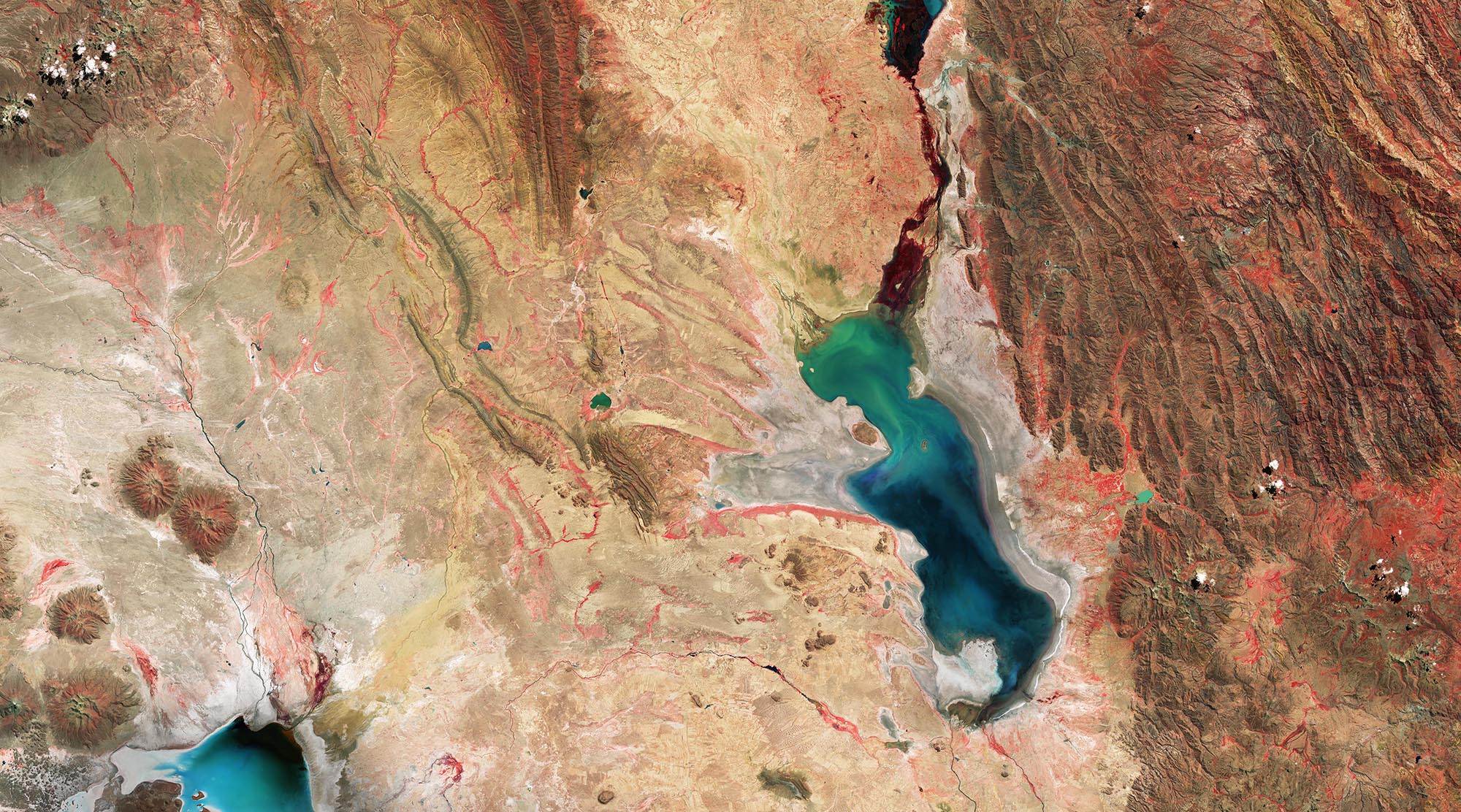
Water Level
EO Capability Benefits
Accurately measuring the water level of inland water bodies such as rivers, lakes and man-made reservoirs is essential for managing water supply, predicting floods and preventing droughts. Irrigation planning and crop management can use water level data to ensure efficient use of water resources. This information also supports our understanding of climate change impacts on regional and global scales as it can point towards shifts in precipitation patterns, evaporation rates and overall water balance. Similarly, studies on ecosystem health, especially for wetlands and lakes, rely on accurate water level data.
EO Capability Description
Direct level measurements are possible using radar altimetry which computes the round-trip travel time of radar pulses, providing cm-level accuracy. Radar altimeters typically have a large footprint, which can range from about 1 to 3 km for calm waters, depending on the satellite and mode of operation.
This large footprint makes it challenging to accurately measure water levels in small rivers or lakes, as the signal is often contaminated by surrounding non-water features. Radar altimetry is therefore more reliable for monitoring large rivers (width > 1 km) and lakes with significant surface areas. The revisit time of radar altimeters (e.g., 35 days for Envisat and SARAL/AltiKa) can also limit their ability to capture rapid changes in water levels, especially during events like flash floods.
To overcome these limitations, researchers often combine radar altimetry with other remote sensing techniques, such as optical or SAR imagery, to improve the accuracy for smaller water bodies. The Surface Water and Ocean Topography (SWOT) mission, launched in 2022, combines SAR and conventional radar altimetry to resolve rivers as narrow as 100 m and lakes/reservoirs with a surface area exceeding 250 m². It produces water level elevations with an accuracy of ±10 cm for water bodies larger than 1 km.


