Ship Detection
EO Capability Benefits
Earth Observation (EO) is used to detect non-cooperative vessels such as those engaged in illegal fishing, smuggling or piracy, by identifying ships without Automatic Identification System (AIS) signals. It also supports border control and anti-trafficking operations by monitoring irregular migration routes. Discrepancies between reported positions and EO-based ones can also be used for further investigation, for instance, when vessels may be involved in oil spills or tank flushing. EO data also helps monitor port infrastructure and docked ships to identify suspicious activities or unauthorised access.
EO Capability Description
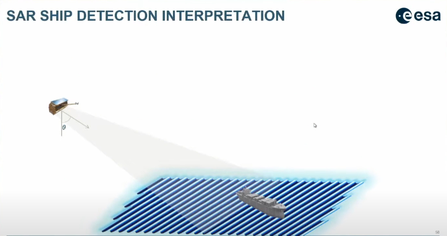
Synthetic Aperture Radar (SAR) is favoured for open seas detection due to its all-weather, day/night capabilities and favourable radar reflections from metallic vessels. Commercial Very High Resolution (VHR) SAR imagery can be used to detect vessels as small as 4m, while Medium (MR) or High Resolution (HR) SAR imagery can be used to detect larger ships (>50m). Optical VHR sensors depend on daylight and clear skies but can detect 5-10m ships and differentiate vessel types, while HR optical sensors like Landsat-8 and Sentinel-2 have been used to detect ships larger than 30m. Both SAR and optical data can also be combined, whereby SAR detects the vessels and optical data validates the vessel type.
A main challenge is to perform object detection on a significant volume of large satellite images covering several hundreds of square kilometers while deriving results under near real time constraints. To overcome this challenge, approaches have, for instance, combined AIS data with a convolutional neural network trained on very large datasets of both annotated Very High Resolution and High Resolution optical satellite imagery. The former are commercial, the latter are free and open.