EO Capability Benefits
Assessments of different water body behaviors on a large scale (e.g., nationwide) strongly support users in water management tasks and decision-making. Seasonal and inter-annual variations, as well as assessments in remote locations, allow for a comprehensive analysis of potential water shortages and support early mitigation strategies.
EO Capability Description
An integrated river basin water storage assessment tool estimates changes in surface water extent and volume, as well as potential changes in groundwater storage, for a given priority river basin. This includes producing surface water extent data (in rivers and lakes) and bathymetric and altimetry data (in lakes and reservoirs). Surface water extent assessments comprise a list of spatio-temporal indicators of water behaviour, such as water frequency extent, minimum and maximum water extent, seasonal behaviours, and inter- and intra-annual changes in water extents.
While the tool cannot provide absolute water volume estimates, it derives volume changes by assessing surface water extents between two-time steps and incorporating digital terrain models to evaluate changes in water height.
Surface Water Extent (Rivers/Lakes): Surface water extent assessments include a list of spatio-temporal indicators of water behaviour, such as water frequency extent, minimum and maximum water extent, seasonal behaviours, and inter- and intra-annual changes in water extents.
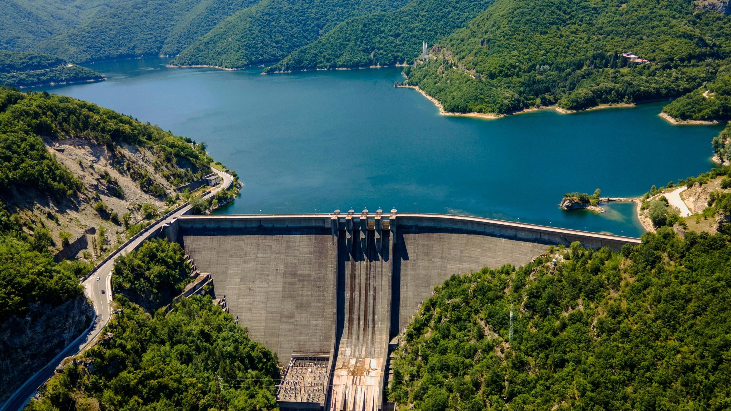
Bathymetry (Lakes/Reservoirs): Bathymetry (water depth) of rivers, lakes, and reservoirs can be obtained from optical satellite data for areas considered “optically shallow”, where sunlight reflected from the seafloor contributes significantly to the signal measured by the satellite. Physics-based methods can be applied universally, without prior on-site information. Knowledge of water depths is critical for a wide range of applications, including navigation, engineering, environmental protection, and more.
Altimetry (Lakes/Reservoirs): Satellite altimetry is a technique used to measure the height of the Earth’s surface, including oceans, inland waters, and land elevations, by bouncing radar waves off the surface and recording the time it takes for the signal to return. This technique helps monitor water levels, track seasonal and long-term changes, and manage water resources. By providing precise data on the dynamics of inland water bodies, satellite altimetry supports flood prediction, drought assessment, and the study of hydrological cycles. This information is crucial for water resource management, environmental monitoring, and understanding the impacts of climate change on freshwater systems.