EO Capability Benefits
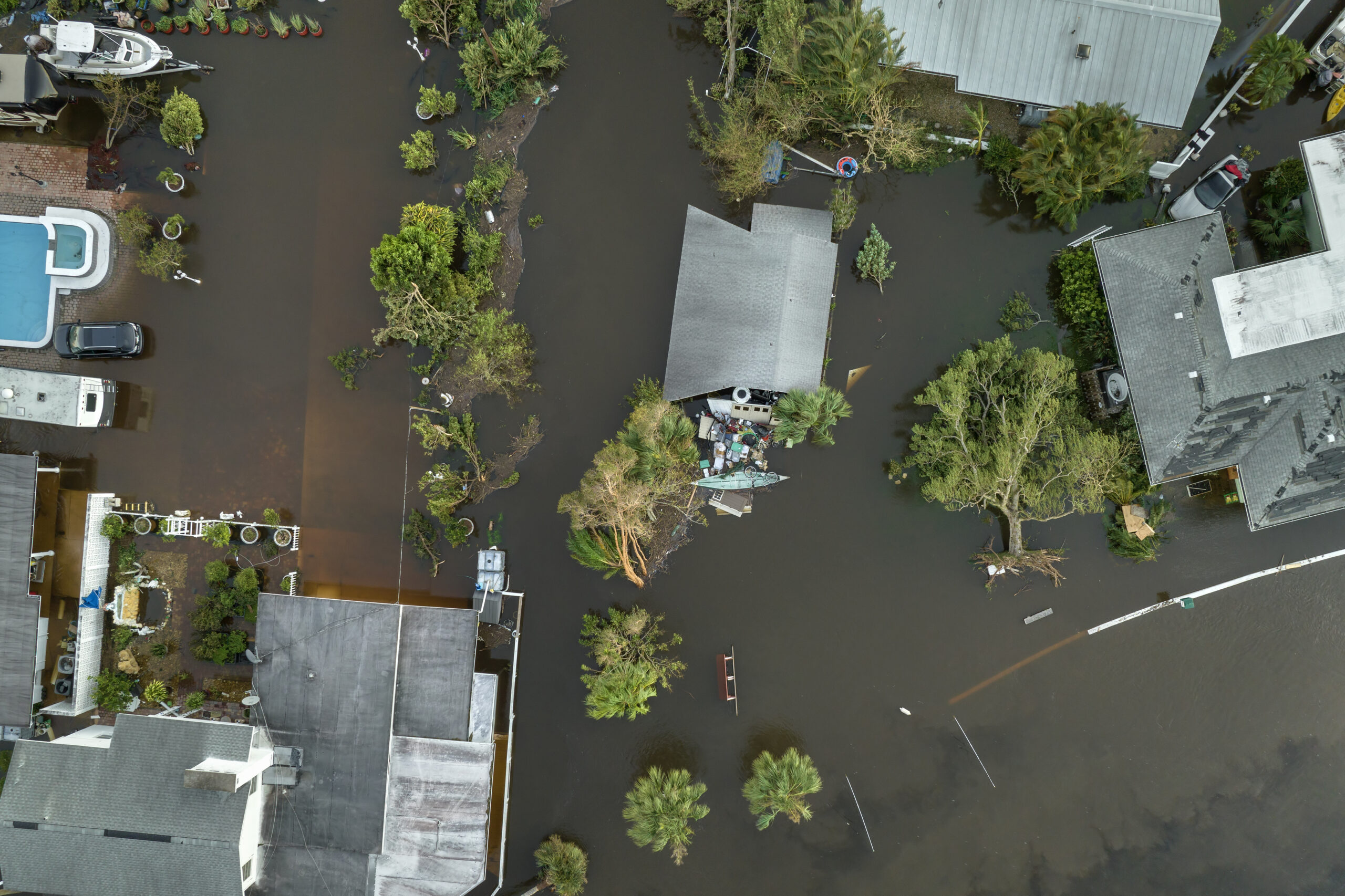
Heat indices are widely applied in the fields of disaster preparedness and response, urban climate resilience, agriculture, and climate studies. Indices, such as the Heat Index (HI), are used to assess heat stress levels and their impact on human health. Heat-health early warning systems based on these indices then help governments and health agencies anticipate heatwaves, allocate resources, and prepare healthcare facilities. Indices like the Surface Urban Heat Island (SUHI) index quantify temperature differences between urban and rural areas and help in designing urban cooling strategies. Other Indices, such as the Water Deficit Index, combine Land Surface Temperature (LST) with atmospheric humidity to monitor drought impacts on crops and natural ecosystems. Indices derived from reanalysis datasets (ERA5-HEAT, for example) are used to project future heat stress scenarios under different climate change pathways.
EO Capability Description
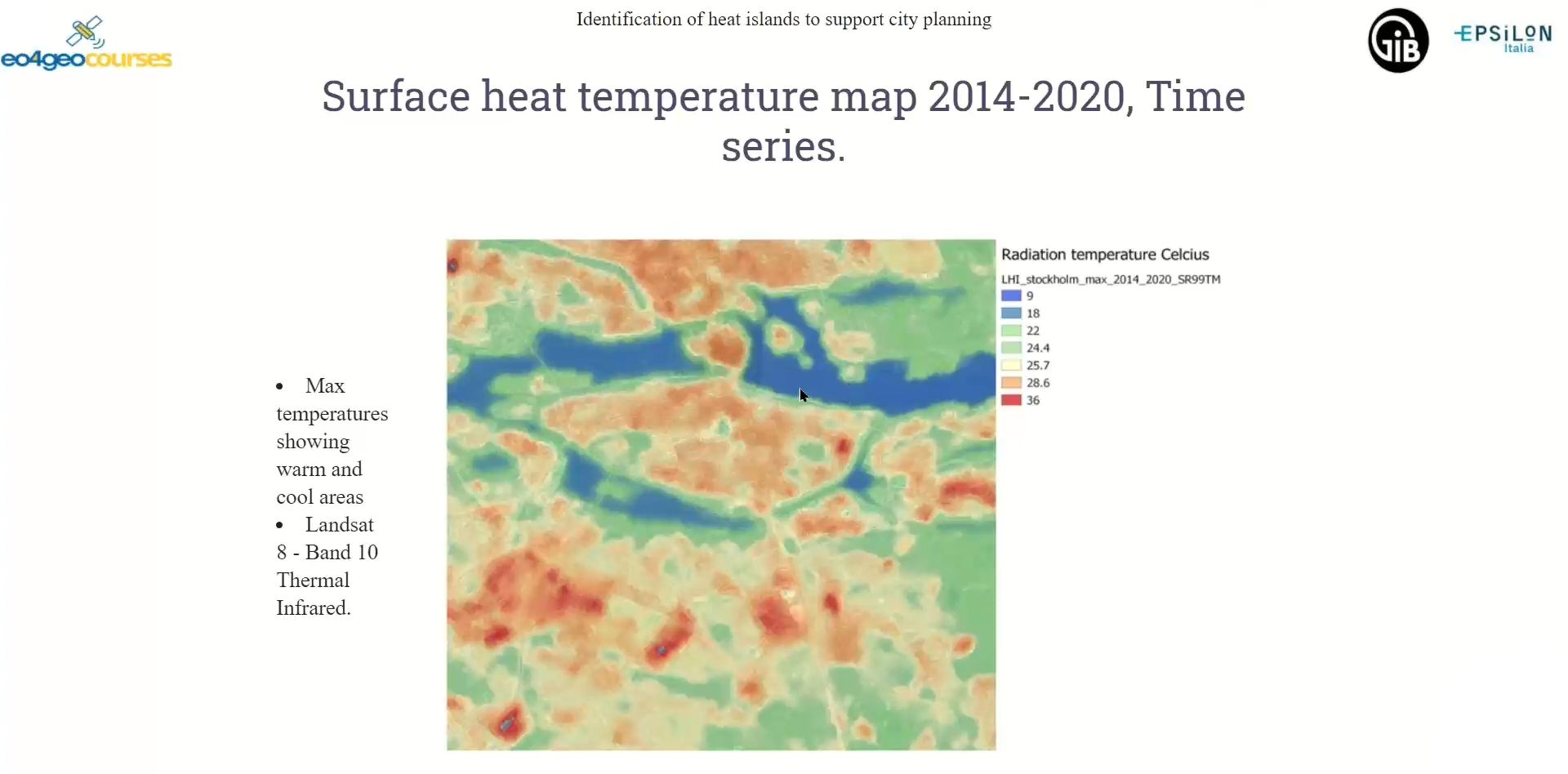
Heat indices are derivatives that combine basic EO capabilities, including Land Surface Temperature, Atmospheric Humidity and Wind Speed. While some, such as the Surface Urban Heat Island Index (SUHI) rely solely on EO inputs (e.g. thermal infrared and Built-Up Extent), many require additional inputs such as relative humidity or atmospheric pressure, which are commonly derived from weather stations or reanalysis models (for example, ERA5). Combining these disparate datasets always means dealing with datasets of varying spatial and temporal resolutions. Additionally, best-in-class heat-related indices require validation with ground-truth data.
Datasets based on multispectral sensors (e.g. Landsat or Sentinel-2) provide higher spatial resolution but lower temporal resolution, meaning that observations are less frequent. Moreover, these sensor are affected by cloud cover. Datasets based on thermal infrared sensor (e.g. MODIS) provide frequent global coverage but at lower spatial resolutions.
The Universal Thermal Climate Index (UTCI) is a comprehensive heat stress indicator, integrating air temperature, humidity, wind and radiation for the assessment of human discomfort in various meteorological conditions. UTCI, which leverages EO data, is obtained by integrating satellite-measured atmospheric values with reanalysis data (such as ERA-5 datasets). Heat stress and climatic-driven health risk can thus be assessed on a large-scale, long-time periods or combined with climate scenarios indicate future heat stress.