Fires and Plumes
EO Capability Benefits
Fire and fire plume monitoring enhances early warning capabilities, protecting communities and aiding public health responses. Detecting smoke plumes supports air quality forecasting, helping authorities issue timely advisories for vulnerable populations regarding, for example, the detection of solid waste burning sites. This information can guide emergency service deployment and inform long-term health studies on exposure to airborne pollutants. Integrated fire and plume data also support climate research by tracking emissions and their transport over long distances, contributing to more accurate aerosol and greenhouse gas inventories.
EO Capability Description
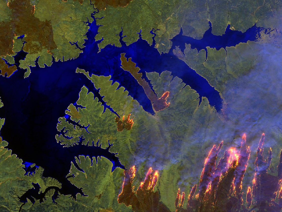
Monitoring fires and their plumes relies on combining optical, thermal, and atmospheric measurements from multiple satellites. Sentinel-2 provides high-resolution optical imagery (10–30 m) to detect active fire fronts and visible smoke plumes. Thermal sensors onboard missions such as MODIS, VIIRS, and Landsat or new commercial providers detect the heat (thermal) signatures of fires, while high temporal coverage helps capture transient fire activity that depends on overpass timing. Sentinel-5P contributes an Aerosol Index, quantifying atmospheric particles from smoke and enabling plume tracking over regional to global scales.
Operational services, including ESA’s Fire CCI and the Copernicus Climate Change Service (C3S), integrate these datasets into continuous global monitoring datasets. The combined data offer spatial resolutions from tens of meters to kilometres, with update frequencies from daily to weekly depending on the sensor. Global products provide both real-time alerts and case-specific analyses, supporting local decision-making as well as broad-scale environmental assessments. Fire detection and plume characterisation allow for accurate mapping of fires and tracking their impacts across borders.