EO Capability Benefits
Burned areas mapping provides essential information for understanding fire extent, severity, and impact on ecosystems and agriculture. It supports strategies to mitigate the effects of fires on cropland and pastures, guide soil restoration activities and enables fire-resistant crop selection, which ensures food security and public health. It also informs land-use planning and climate adaptation measures by identifying high-risk zones and assessing post-fire carbon emissions. Regular monitoring supports sustainable agricultural practices, such as targeted crop rotations and improved soil management, helping communities recover faster and reduce vulnerability to future fire events.
EO Capability Description
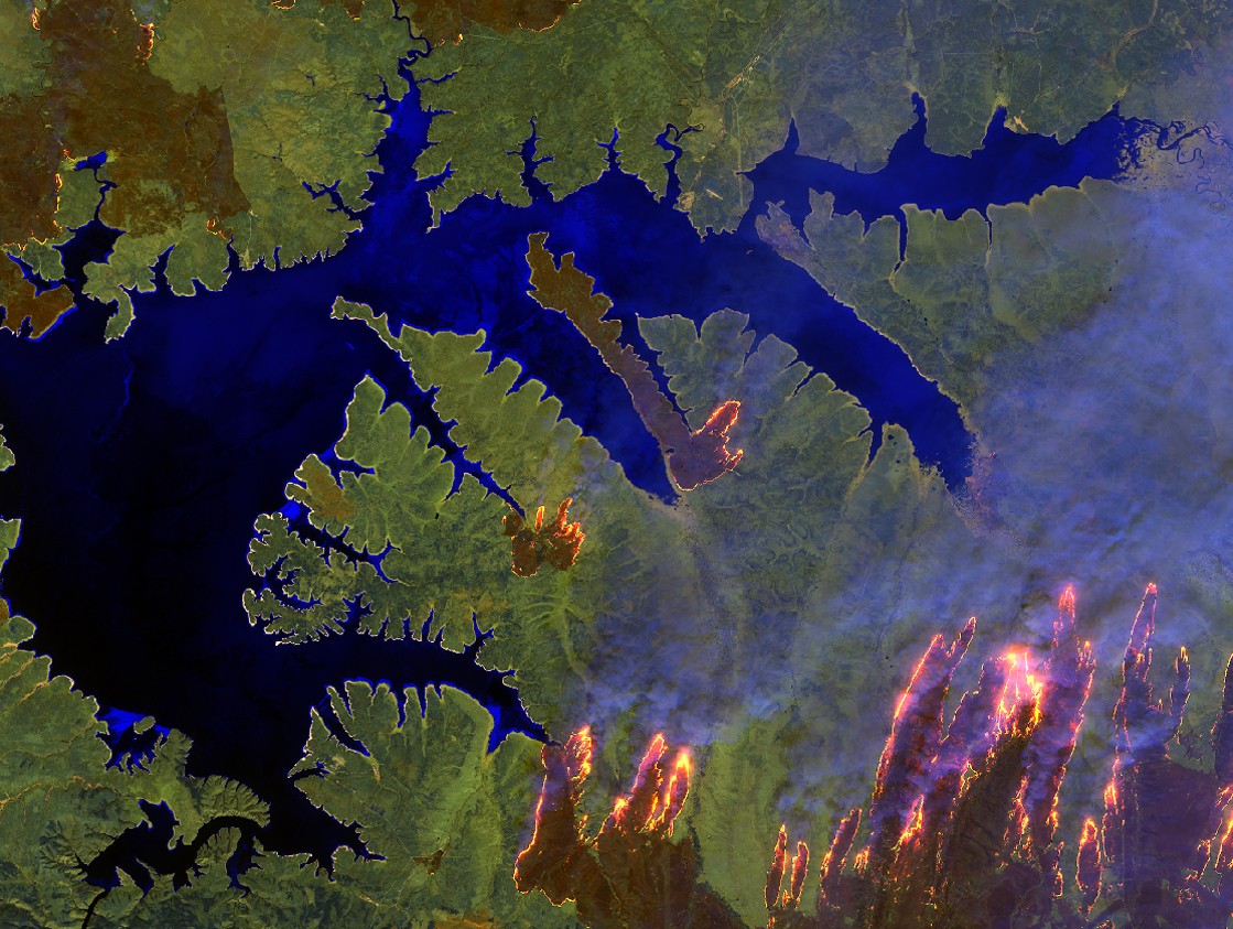
Burned Area Mapping combines data from multiple Earth Observation (EO) sensors to deliver accurate and timely information on fire-affected regions. Sentinel-2 provides multispectral optical imagery at 10–20 m resolution, allowing for the detection of small burn scars and detailed mapping of land cover changes. Sentinel-3 complements this with coarser (300 m resolution) but more frequent coverage, providing global monitoring every few days. These datasets are enhanced with active fire detections from NOAA’s VIIRS (Visible Infrared Imaging Radiometer Suite), which identifies ongoing fires in near real time. Combined, these sensors provide both situational awareness during fire events and comprehensive assessments afterward.
ESA’s Fire CCI and the Copernicus Climate Change Service (C3S) operational burned area products offer both full-resolution and aggregated datasets. Full-resolution products indicate the burn date, confidence level, and land cover type for each pixel, while lower-resolution products provide grid-based summaries of burned area, standard error, and burn distribution by land cover class. Global coverage is achieved at 10–300 m resolution with update frequencies ranging from 15 days to monthly. Special regional datasets, such as the Sentinel‑2‑based “Small Fires Database” for Sub-Saharan Africa, fill an important gap by detecting smaller or lower-intensity fires often missed by coarser sensors.
Indicative Cost Range
Free or subscription