Above Ground Biomass
EO Capability Benefits
Above Ground Biomass (AGB) mapping and estimation is a key resource in environmental monitoring, climate science, and ecosystem management. Quantifying the total vegetation biomass above ground reliably and at multiple-scales via Earth Observation (EO)-based technologies has become crucial in the study of terrestrial carbon stock dynamics, biodiversity conservation, and climate change mitigation. Essential insights into forest structure and composition changes, which have a strong impact on AGB, can be derived in relation to different types of ecosystems, allowing researchers and policymakers to be better informed in the design of sustainable land management and/or conservation measures. Overall, AGB insights derived from satellite data are key in climate change initiatives like REDD+ (Reducing Emissions from Deforestation and Forest Degradation) and in modelling carbon fluxes, improving understanding of the role of different ecosystems in the global carbon cycle.
EO Capability Description
Above ground biomass refers to the total amount of living vegetation matter above ground, which includes trees, shrubs and grasses. It has received growing attention over the last few decades, with forest biomass being of particular interest, due to its role in carbon sequestration and greenhouse gas emissions resulting from deforestation. Remote sensing technologies enable the estimation of the Earth’s surface biomass by analysing the spectral and structural characteristics of vegetation.
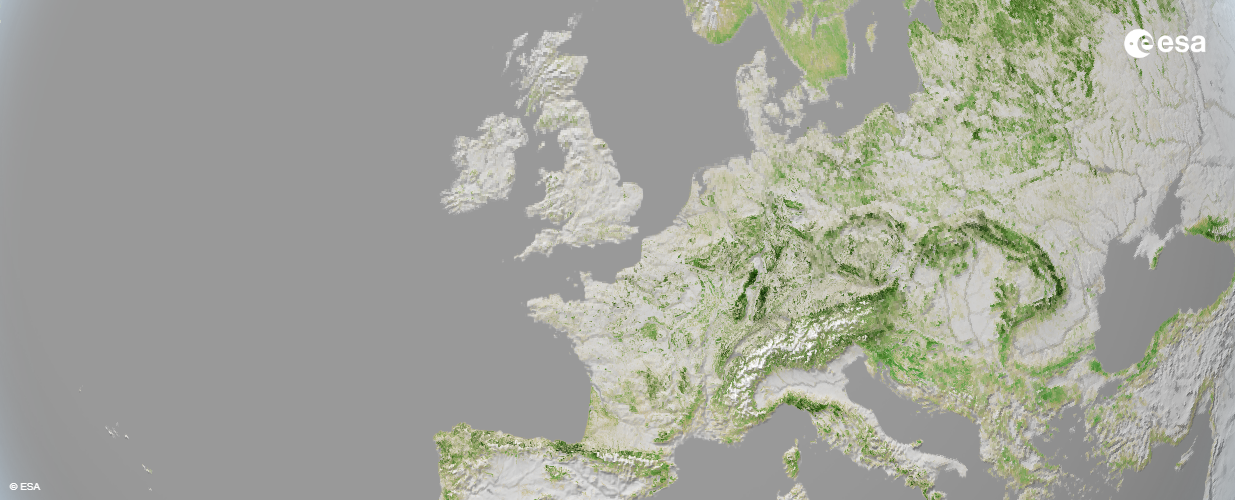
Advances in data fusion, machine learning, and cloud computing have made it possible to monitor biomass in near-real time, at high resolution, on a global scale, cost-effectively and with high accuracy. Multi-spectral data from optical sensors such as Sentinel-2 and Landsat are used to derive vegetation indices and species-specific spectral attributes, which can be further refined using hyperspectral sensors. The use of SAR sensors carried by satellites such as Sentinel-1 (C-band), ALOS-2 (L-band), and TanDEM-X (X-band), on the other hand, provide backscatter signals that carry information on vegetation structure and density. Finally, LiDAR data, generated by instruments like GEDI and ICESat-2 satellite, provide precise measurements of the vertical distribution of canopy and ground surfaces, from which key parameters for biomass estimation, such as canopy height, can be derived.
Indicative Cost Range Details
Due to the need for continuous monitoring, business models of service providers tend to focus on subscriptions or the revenues from certifying carbon credits, for instance those associated with afforestation projects. However, once-off mapping services starting from around 10.00 EUR/km² are also available.
Indicative Cost Range
Subscription, indirect, or from ~10.00 EUR/km²