Road Safety Hazards
Use Case Description
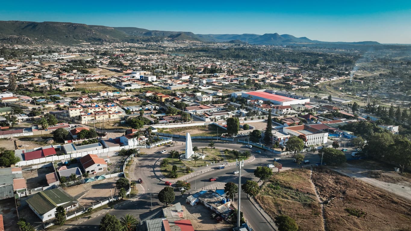
National authorities responsible for infrastructure planning and maintenance of road networks require reliable data to ensure the safety of roads. For example, land subsidence, caused by groundwater removal or geological activity, can have a significant impact on the operability of transport networks resulting in road damage and disrupting entire transport networks. As the ground sinks, the road surface may crack, deform, or develop uneven surfaces. At the same time, the effect poses a safety hazard and can result in increased maintenance costs and economic losses. A well-functioning road and transport network is of paramount importance to ensure the safety of citizens and to facilitate economic growth and the functioning of supply chains.
By leveraging EO, authorities can access up-to-date information on road conditions and potential safety hazards such as land subsidence, which poses significant risks to the operability and safety of transportation networks. This capability is especially crucial for identifying areas where the ground may be sinking due to factors like groundwater removal or geological activities. This can lead to road damage, including cracks, deformations, and uneven surfaces that endanger road users and necessitate costly repairs. By identifying hazardous conditions before they result in serious damage or accidents, authorities can prioritise maintenance and repair efforts more effectively, ensuring the safety and reliability of road networks. This approach not only enhances the preparation, implementation, and maintenance of road safety projects but also contributes to reducing economic losses associated with road damages and disruptions.
Additionally, the comprehensive coverage and high-resolution data provided by satellite imagery facilitate the monitoring of wide areas and the detection of subtle changes in infrastructure conditions over time. This provides an invaluable tool for long-term planning and risk management in road safety initiatives.